14 km | 19,8 km-effort
PLATZERWASEL COL SCHNEPFENRIED
surceneux
Utilisateur
Longueur
6,1 km
Altitude max
1194 m
Dénivelé positif
171 m
Km-Effort
8,3 km
Altitude min
1040 m
Dénivelé négatif
148 m
Boucle
Non
Date de création :
2024-10-06 13:41:23.843
Dernière modification :
2024-10-06 17:33:16.624
1h20
Difficulté : Facile
Application GPS de randonnée GRATUITE
À propos
Randonnée Marche de 6,1 km à découvrir à Grand Est, Haut-Rhin, Sondernach. Cette randonnée est proposée par surceneux.
Description
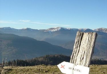
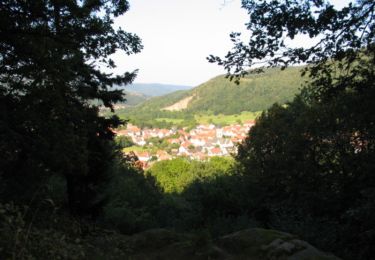
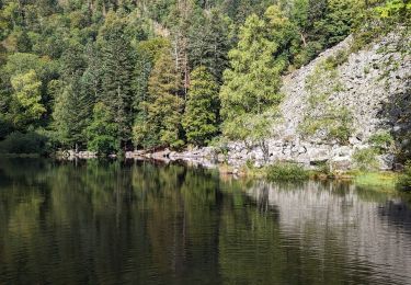
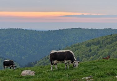
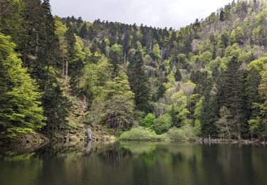
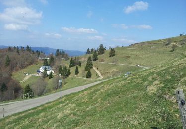
PLATZERWASEL COL SCHNEPFENRIED AR PAR DISQUE BLEU
Localisation
Pays :
France
Région :
Grand Est
Département/Province :
Haut-Rhin
Commune :
Sondernach
Localité :
Unknown
Départ:(Dec)
Départ:(UTM)
354080 ; 5315029 (32T) N.
Commentaires
Randonnées à proximité
Tour de la grande Vallée de Munster (refuge du Hilsen - Munster)
Marche
Difficile
(1)
Linthal,
Grand Est,
Haut-Rhin,
France
18,1 km | 24 km-effort
5h 0min
Non
Rainkopf - Mittlach - Hohneck
Marche
Difficile
(1)
La Bresse,
Grand Est,
Vosges,
France
22 km | 41 km-effort
8h 0min
Oui
Tour du Gaschney par le Sattel
V.T.T.
Difficile
(1)
Metzeral,
Grand Est,
Haut-Rhin,
France
25 km | 37 km-effort
2h 32min
Oui
Le Markstein
Marche
Difficile
(1)
Lautenbachzell,
Grand Est,
Haut-Rhin,
France
22 km | 35 km-effort
6h 0min
Oui
Sentier des Névés
V.T.T.
Très difficile
(1)
Metzeral,
Grand Est,
Haut-Rhin,
France
33 km | 52 km-effort
6h 0min
Oui
2023-09-24 Marche Mittlach 5 Lacs
Marche
Moyen
Mittlach,
Grand Est,
Haut-Rhin,
France
25 km | 41 km-effort
9h 19min
Oui
2023-05-19 WE Marche Bivouac Massif du Hohneck
Marche
Moyen
Sondernach,
Grand Est,
Haut-Rhin,
France
46 km | 73 km-effort
16h 41min
Oui
2023-05-19 Marche Schnepfenried vers Lac du Fischboedle
Marche
Facile
Sondernach,
Grand Est,
Haut-Rhin,
France
9,1 km | 14,1 km-effort
3h 12min
Non