


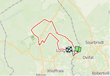


16,7 km | 22 km-effort

Utilisateur


Application GPS de randonnée GRATUITE
 SityTrail
IGN / Instituts géographiques
SityTrail World
Le monde est à vous
Randonnée Marche de 14,3 km à découvrir à Wallonie, Liège, Malmedy. Cette randonnée est proposée par erjot60.
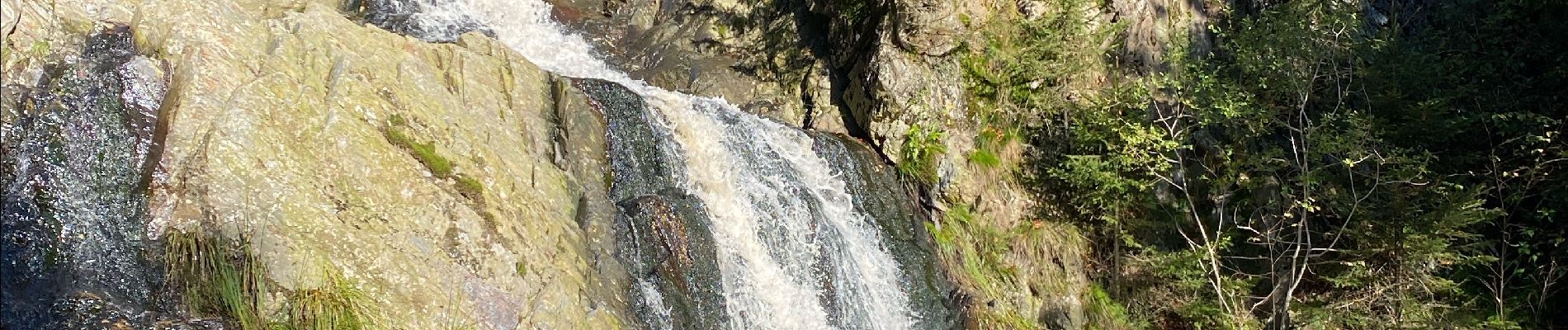
Une balade très variée qui débute dans une vallée en suivant le ruisseau du Bayehon, belle cascade. On remonte vers la fagne de Setay puis retour dans les bois vers le village de Longfaye et le vallon du Bayehon


Marche

Marche


Marche

Marche

Marche
Marche
Marche