![](/images/other/stat-length.png)
![Randonnée Randonnée équestre Sauret-Besserve - Chevauchée en Combrailles - Boucle des Fades - Photo](https://media.geolcdn.com/t/1900/400/3a13472a-4505-4cbe-a187-a0d12e0660c2.jpg&format=pjpeg&maxdim=2)
Chevauchée en Combrailles - Boucle des Fades
Marianne Jarzaguet Eydieux
Utilisateur
![Longueur](/images/other/stat-length.png)
![Altitude max](https://static1.geolcdn.com/siteimages/upload/files/1508320355ic_sort_altitude_max_24dp.png)
![Dénivelé positif](https://static1.geolcdn.com/siteimages/upload/files/1508320355ic_sort_den_pos_24dp.png)
![Km-Effort](/images/other/stat-length.png)
![Altitude min](https://static1.geolcdn.com/siteimages/upload/files/1508320355ic_sort_altitude_min_24dp.png)
![Dénivelé négatif](https://static1.geolcdn.com/siteimages/upload/files/1508320355ic_sort_den_neg_24dp.png)
![Boucle](https://static1.geolcdn.com/siteimages/upload/files/16400158638029165_repeat_loop_refresh_sync_direction_icon.png)
![Randonnée équestre](https://static1.geolcdn.com/sitytour/trail-icons/301.png)
17h45
Difficulté : Très difficile
![Scannez ce code QR pour ouvrir la randonnée dans l'application SityTrail](https://capi.geolives.com/qq0zvz2zws4bq2lad0pu/sitytour/trails/4214942/qr.png?size=200)
Application GPS de randonnée GRATUITE
À propos
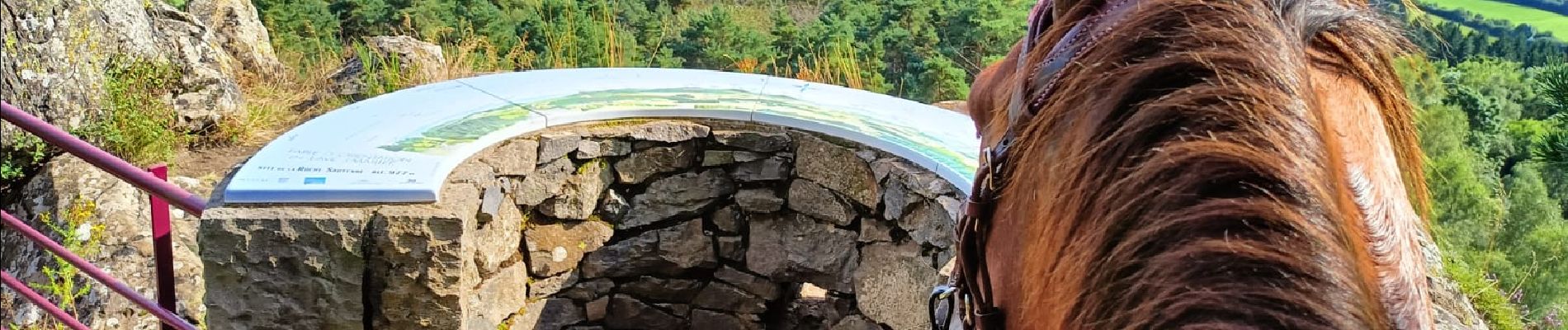
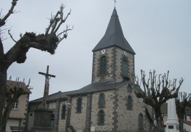
Randonnée Randonnée équestre de 97 km à découvrir à Auvergne-Rhône-Alpes, Puy-de-Dôme, Sauret-Besserve. Cette randonnée est proposée par Marianne Jarzaguet Eydieux.
Description
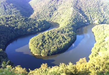
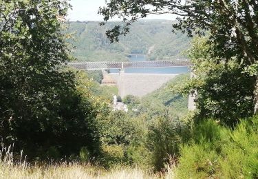
Boucle de randonnée équestre de 4 jours autour de la retenue du barrage des Fades.
95 km au total.
Départ Ferme équestre du Shetyland - Vitrac
1ère étape jusqu'à Chapdes Beaufort (Les Girauds) - Gîte 2 pieds 4 pattes.
2ème étape jusqu'à Miremont - Gîte du Roc au Ciel
3 étape jusqu'à Sauret Besserve (La siouve) - La ferme de Fontvieille
4 ème étape retour à Vitrac.
Localisation
Commentaires
Randonnées à proximité
![Randonnée A pied Saint-Priest-des-Champs - La Cascade - Photo](https://media.geolcdn.com/t/375/260/7a950daa-937a-44e3-b22b-a54d008a638a.jpeg&format=jpg&maxdim=2)
![A pied A pied](https://static1.geolcdn.com/sitytour/trail-icons/100.png)
A pied
![](/images/other/stat-length.png)
![](https://static1.geolcdn.com/siteimages/upload/files/16400158638029165_repeat_loop_refresh_sync_direction_icon.png)
![Randonnée A pied Saint-Gervais-d'Auvergne - L'Etang Philippe - Photo](https://media.geolcdn.com/t/375/260/9714eae5-9063-4d2d-9d10-3e257e24c836.jpeg&format=jpg&maxdim=2)
![A pied A pied](https://static1.geolcdn.com/sitytour/trail-icons/100.png)
A pied
![](/images/other/stat-length.png)
![](https://static1.geolcdn.com/siteimages/upload/files/16400158638029165_repeat_loop_refresh_sync_direction_icon.png)
![Randonnée Marche Queuille - Queuille_Meandre_Sioule_2 - Photo](https://media.geolcdn.com/t/375/260/c51f5572-2089-4df4-923e-918b18450d4f.jpeg&format=jpg&maxdim=2)
![Marche Marche](https://static1.geolcdn.com/sitytour/trail-icons/101.png)
Marche
![](/images/other/stat-length.png)
![](https://static1.geolcdn.com/siteimages/upload/files/16400158638029165_repeat_loop_refresh_sync_direction_icon.png)
![Randonnée Marche Queuille - Queuille_Meandre_Sioule_1 - Photo](https://media.geolcdn.com/t/375/260/ad87324e-b040-4162-a113-54c4bbf0c5ae.jpeg&format=jpg&maxdim=2)
![Marche Marche](https://static1.geolcdn.com/sitytour/trail-icons/101.png)
Marche
![](/images/other/stat-length.png)
![](https://static1.geolcdn.com/siteimages/upload/files/16400158638029165_repeat_loop_refresh_sync_direction_icon.png)
![Randonnée A pied Queuille - Vallon de la Viouze - Photo](https://media.geolcdn.com/t/375/260/d982debc-bf5f-4b89-b22b-83bc9e82dd4a.jpeg&format=jpg&maxdim=2)
![A pied A pied](https://static1.geolcdn.com/sitytour/trail-icons/100.png)
A pied
![](/images/other/stat-length.png)
![](https://static1.geolcdn.com/siteimages/upload/files/16400158638029165_repeat_loop_refresh_sync_direction_icon.png)
![Randonnée Marche Saint-Priest-des-Champs - La Maziere - Photo](https://media.geolcdn.com/t/375/260/ext.jpg?maxdim=2&url=https%3A%2F%2Fservices.sitytrail.com%2FGeolivesWS%2FDownloadMedia.ashx%3FTrailID%3D568204%26Media%3Dfix__20160505161226.jpg)
![Marche Marche](https://static1.geolcdn.com/sitytour/trail-icons/101.png)
Marche
![](/images/other/stat-length.png)
![](https://static1.geolcdn.com/siteimages/upload/files/16400158638029165_repeat_loop_refresh_sync_direction_icon.png)
![Randonnée Marche Queuille - Méandre de Queuille façon Papy - Photo](https://media.geolcdn.com/t/375/260/ext.jpg?maxdim=2&url=https%3A%2F%2Fservices.sitytrail.com%2FGeolivesWS%2FDownloadMedia.ashx%3FTrailID%3D212520%26Media%3D20130812191134.jpg)
![Marche Marche](https://static1.geolcdn.com/sitytour/trail-icons/101.png)
Marche
![](/images/other/stat-length.png)
![](https://static1.geolcdn.com/siteimages/upload/files/16400158638029165_repeat_loop_refresh_sync_direction_icon.png)
![Randonnée Marche Sauret-Besserve - Balade dans les Combrailles - Sauret Besserve - Photo](https://media.geolcdn.com/t/375/260/ext.jpg?maxdim=2&url=https%3A%2F%2Fservices.sitytrail.com%2FGeolivesWS%2FDownloadMedia.ashx%3FTrailID%3D172490%26Media%3D13849_3.jpg)
![Marche Marche](https://static1.geolcdn.com/sitytour/trail-icons/101.png)
Marche
![](/images/other/stat-length.png)
![](https://static1.geolcdn.com/siteimages/upload/files/16400158638029165_repeat_loop_refresh_sync_direction_icon.png)
![Randonnée Marche Queuille - QUEUILLE - Photo](https://media.geolcdn.com/t/375/260/97358682-872a-4e16-96e9-712ff2ed6278.jpg&format=jpg&maxdim=2)
![Marche Marche](https://static1.geolcdn.com/sitytour/trail-icons/101.png)
Marche
![](/images/other/stat-length.png)
![](https://static1.geolcdn.com/siteimages/upload/files/16400158638029165_repeat_loop_refresh_sync_direction_icon.png)