


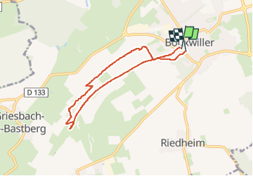

11,6 km | 17,3 km-effort

Utilisateur


Application GPS de randonnée GRATUITE
 SityTrail
IGN / Instituts géographiques
SityTrail World
Le monde est à vous
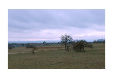
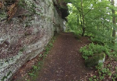
Randonnée Marche de 6,5 km à découvrir à Grand Est, Bas-Rhin, Bouxwiller. Cette randonnée est proposée par zazie.


A pied

A pied
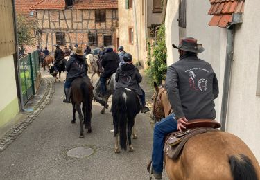
Randonnée équestre
A pied
Marche

Marche
Marche
Marche
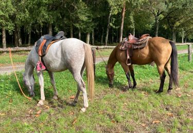
Randonnée équestre