


21 km | 29 km-effort

Utilisateur GUIDE


Application GPS de randonnée GRATUITE
 SityTrail
IGN / Instituts géographiques
SityTrail World
Le monde est à vous
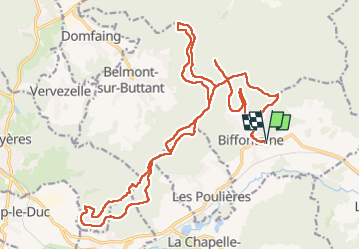
Randonnée Randonnée équestre de 27 km à découvrir à Grand Est, Vosges, Biffontaine. Cette randonnée est proposée par holtzv.
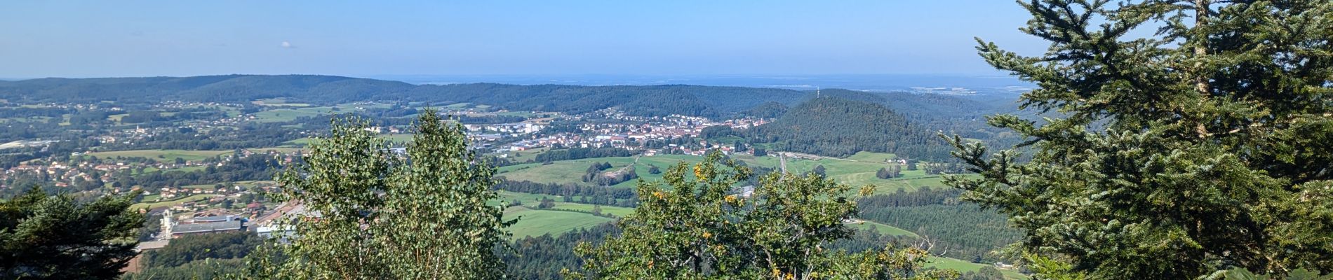
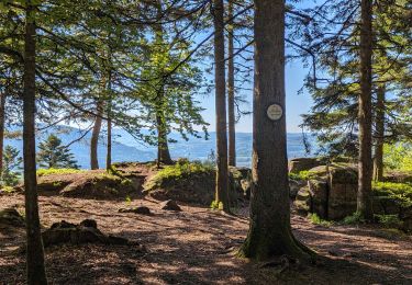
Boucle à la journée depuis le gite de la Charmotte à Biffontaine en passant par la roche des Poires sèches, le col de l’Arnelle, le rocher de Borémont, la roche du Pain de Poire et la roche du Grand Tétras (à pied à la fin).


Marche
Marche

Randonnée équestre
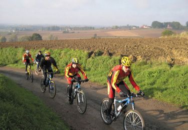
V.T.T.

Marche
Randonnée équestre
Marche
Randonnée équestre