


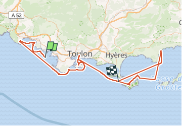

8,7 km | 11,4 km-effort


Utilisateur


Application GPS de randonnée GRATUITE
 SityTrail
IGN / Instituts géographiques
SityTrail World
Le monde est à vous
Randonnée de 155 km à découvrir à France. Cette randonnée est proposée par pierre.chau.

Marche

Marche

Marche

Marche

Marche

Marche
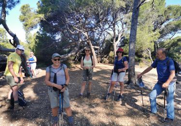
Marche
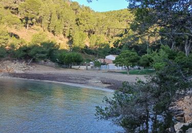
Marche
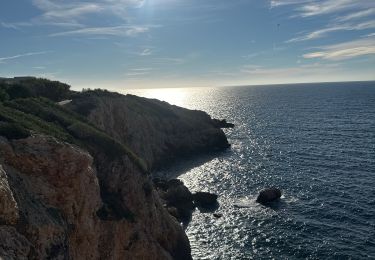
Marche