


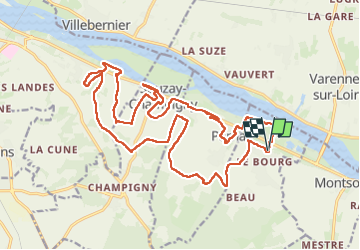

24 km | 30 km-effort

Utilisateur GUIDE


Application GPS de randonnée GRATUITE
 SityTrail
IGN / Instituts géographiques
SityTrail World
Le monde est à vous
Randonnée Marche de 24 km à découvrir à Pays de la Loire, Maine-et-Loire, Turquant. Cette randonnée est proposée par Orcal37.
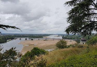
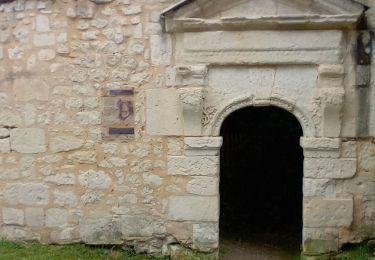
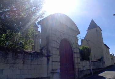
Turquant - GR3 - GRP Saumur Val-de-Loire - Dampierre-sur-Loire - Souzay - Parnay - 24.5km 320m 5h25 (1h05) - 2024 09 18
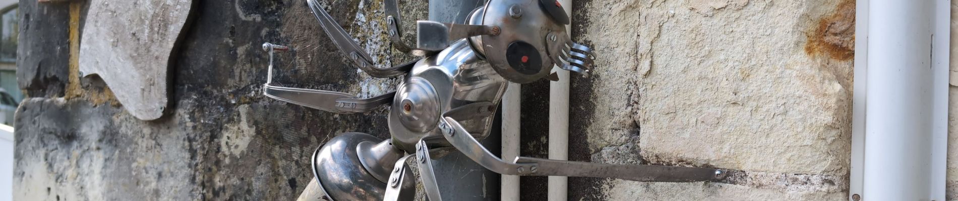
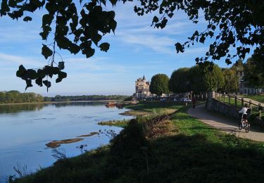
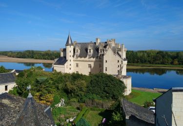
 - 2024 09 18 - Photo 1")
 - 2024 09 18 - Photo 2")
 - 2024 09 18 - Photo 3")
 - 2024 09 18 - Photo 4")
 - 2024 09 18 - Photo 5")
 - 2024 09 18 - Photo 6")
 - 2024 09 18 - Photo 7")
 - 2024 09 18 - Photo 8")
 - 2024 09 18 - Photo 9")
 - 2024 09 18 - Photo 10")
 - 2024 09 18 - Photo 11")
 - 2024 09 18 - Photo 12")
 - 2024 09 18 - Photo 13")
 - 2024 09 18 - Photo 14")
 - 2024 09 18 - Photo 15")
 - 2024 09 18 - Photo 16")

Marche
Marche
Marche

V.T.T.

Marche
Marche

Marche
Marche
Marche