7,5 km | 9,1 km-effort
La sitters
jeannine grandjean
Utilisateur
Longueur
7,9 km
Altitude max
157 m
Dénivelé positif
162 m
Km-Effort
10 km
Altitude min
74 m
Dénivelé négatif
159 m
Boucle
Oui
Date de création :
2024-09-17 14:53:19.0
Dernière modification :
2024-09-17 17:06:55.059
Application GPS de randonnée GRATUITE
À propos
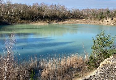
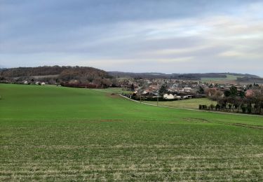
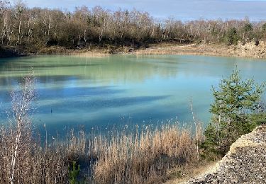
Randonnée de 7,9 km à découvrir à Grand Est, Aube, La Saulsotte. Cette randonnée est proposée par jeannine grandjean.
Localisation
Pays :
France
Région :
Grand Est
Département/Province :
Aube
Commune :
La Saulsotte
Localité :
Unknown
Départ:(Dec)
Départ:(UTM)
536591 ; 5376327 (31U) N.
Commentaires
Randonnées à proximité
MONTPOTHIER, LE VILLAGE ET LES ETANGS
Marche
Moyen
(1)
Montpothier,
Grand Est,
Aube,
France
2h 4min
Oui
Rando Santé du 27 nov. - La Saulsotte
Marche
Moyen
La Saulsotte,
Grand Est,
Aube,
France
5,1 km | 6,3 km-effort
1h 2min
Oui
Boucle Nogent Liours
Marche
Très facile
Nogent-sur-Seine,
Grand Est,
Aube,
France
13,1 km | 14 km-effort
2h 44min
Oui
Grand Est - Ligne 4 - Paris Mulhouse (Section de Nogent-sur-Seine à Bar-sur-A...
Autre activité
Très facile
Melz-sur-Seine,
Île-de-France,
Seine-et-Marne,
France
115 km | 124 km-effort
5min
Non
Autour des étangs de Montreuil
Marche
Facile
Nogent-sur-Seine,
Grand Est,
Aube,
France
12,4 km | 13,4 km-effort
3h 1min
Oui
Nogent-sur-Seine sur Seine
Marche
Très difficile
Nogent-sur-Seine,
Grand Est,
Aube,
France
17,7 km | 19,1 km-effort
4h 20min
Oui
Montpothier la queue de renard
Marche
Montpothier,
Grand Est,
Aube,
France
10,3 km | 12,2 km-effort
2h 23min
Oui