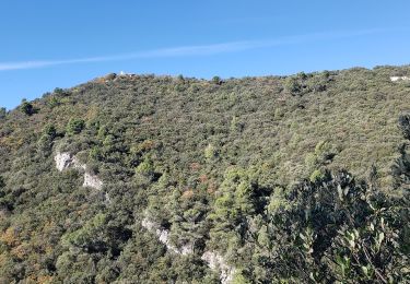
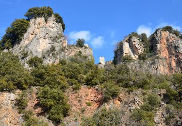
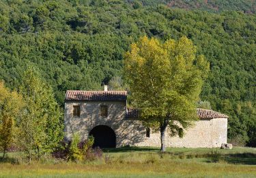
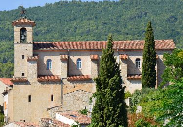
Randonnée Marche Châteaudouble - SityTrail - 3604842 - projet-les-gorges-de-chateaudouble - Photo

SityTrail - 3604842 - projet-les-gorges-de-chateaudouble

 pscheven
pscheven

Utilisateur ADMINGUIDE

© OpenStreetMap contributors
Longueur
Longueur
13,5 km
Altitude max
Altitude max
643 m
Dénivelé positif
Dénivelé positif
458 m
Km-Effort
Km-Effort  
19,6 km
Altitude min
Altitude min
291 m
Dénivelé négatif
Dénivelé négatif
456 m
Boucle
Boucle
Oui
Date de création :
2024-09-16 16:20:20.798
Dernière modification :
2024-09-16 16:20:20.798

(0 Avis)

Marche
Marche
4h27
Difficulté : Très difficile

Scannez ce code QR pour ouvrir la randonnée dans l'application SityTrail

Application GPS de randonnée GRATUITE

Logo SityTrail SityTrail

IGN / Instituts géographiques

Télécharger SityTrail sur l'App Store Télécharger SityTrail sur Google Play

Logo SityTrail SityTrail World

Le monde est à vous

Télécharger SityTrail sur l'App Store Télécharger SityTrail sur Google Play Télécharger SityTrail sur Huawei AppGallery

À propos

Randonnée Marche de 13,5 km à découvrir à Provence-Alpes-Côte d'Azur, Var, Châteaudouble. Cette randonnée est proposée par pscheven.

Profil altimétrique

Points d'intérêt

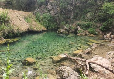
Point d'intérêt Châteaudouble - La Nartuby et la source des Frayères - Photo
pscheven
Point d'intérêt Châteaudouble - Route interdite - Photo
pscheven
CHÂTEAUDOUBLE 
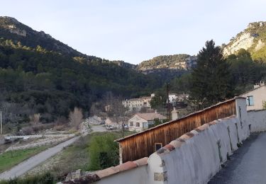
Point d'intérêt Châteaudouble - Village de Châteaudouble - Photo
pscheven

Localisation

Pays :
France
Région :
Provence-Alpes-Côte d'Azur
Département/Province :
Var
Commune :
Châteaudouble
Localité :
Unknown
Départ:(Dec)
Départ:(UTM)
294188 ; 4830246 (32T) N.

Randonnées à proximité

Randonnée Marche Figanières - château château de château de la garde - Photo
Marche
ninia

Marche

Très facile
(1)
Figanières, Provence-Alpes-Côte d'Azur, Var, France
9,2 km | 11,9 km-effort
2h 48min
Oui
Randonnée Marche Figanières - Figanières 01 - Photo
Marche
jeanclaude83

Marche

Très facile
(1)
Figanières, Provence-Alpes-Côte d'Azur, Var, France
8,4 km | 11,8 km-effort
2h 30min
Oui
Randonnée Marche Montferrat - La double Borie et le Beaudron . Montferrat - Photo
Marche
boulinevelyne

Marche

Difficile
(1)
Montferrat, Provence-Alpes-Côte d'Azur, Var, France
9,1 km | 14,3 km-effort
3h 15min
Oui
Randonnée sport Montferrat - M’ingérât - Photo
sport
jaflo

sport

Très facile
Montferrat, Provence-Alpes-Côte d'Azur, Var, France
11,6 km | 17,2 km-effort
Inconnu
Oui
Randonnée Marche Montferrat - 20-06-2023 Pierrepont  - Photo
Marche
GUIDE
Kargil

Marche

Facile
Montferrat, Provence-Alpes-Côte d'Azur, Var, France
12,4 km | 18,3 km-effort
4h 8min
Oui
Randonnée Marche Draguignan - Rebouillon le long de la Nartuby - Photo
Marche
geli.henri

Marche

Facile
Draguignan, Provence-Alpes-Côte d'Azur, Var, France
4,8 km | 5,9 km-effort
1h 33min
Oui
Randonnée Marche Châteaudouble - Rebouillon - Chapelle St Jean - Châteaudouble - Photo
Marche
LtZIP

Marche

Facile
Châteaudouble, Provence-Alpes-Côte d'Azur, Var, France
20 km | 28 km-effort
4h 56min
Oui
Randonnée Marche Montferrat - Montferrat - Chapelle St Roch - ND de Beauvoir - Chapelle de Favas - Borie - Photo
Marche
LtZIP

Marche

Facile
Montferrat, Provence-Alpes-Côte d'Azur, Var, France
15,8 km | 24 km-effort
4h 39min
Oui
Randonnée Marche Figanières - Figanières - Carrière la Granegone - Le Malmont - Vallon de la Riaille. - Photo
Marche
LtZIP

Marche

Moyen
Figanières, Provence-Alpes-Côte d'Azur, Var, France
17,9 km | 25 km-effort
5h 9min
Oui


Fermer
Mes abonnements