


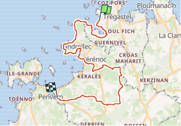

11,1 km | 13,6 km-effort

Utilisateur


Application GPS de randonnée GRATUITE
 SityTrail
IGN / Instituts géographiques
SityTrail World
Le monde est à vous
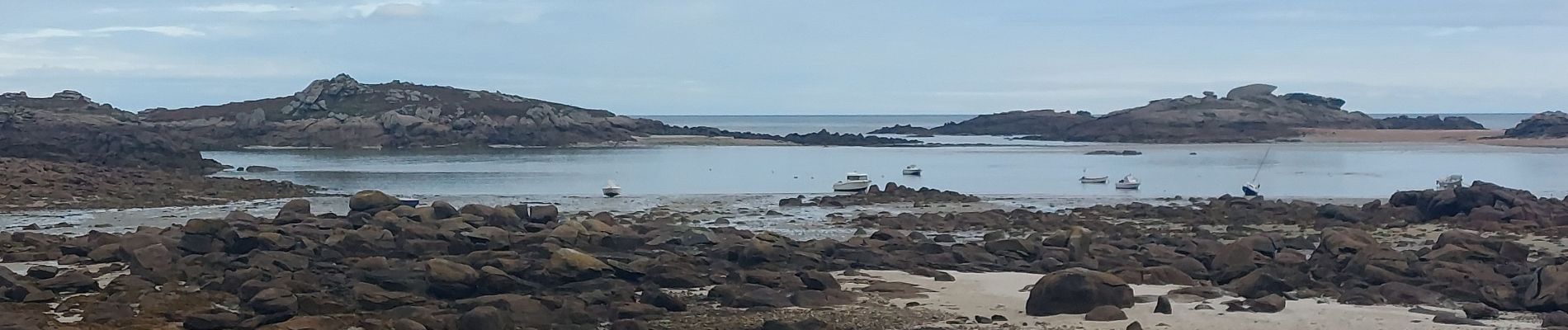
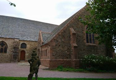
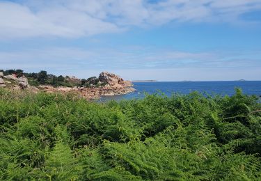
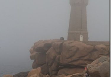
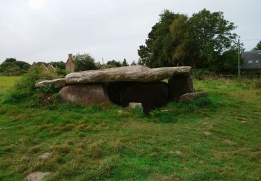
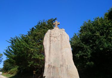
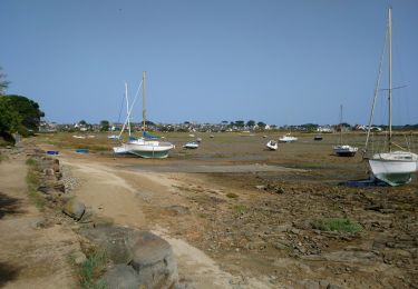
Randonnée Marche de 16,2 km à découvrir à Bretagne, Côtes-d'Armor, Trégastel. Cette randonnée est proposée par patrickdanilo.
Randonnée Marche de 16,2 km à découvrir à Bretagne, Côtes-d'Armor, Trégastel. Cette randonnée est proposée par patrickdanilo.


Marche

Marche
Marche
Marche

Marche
Marche

Marche
Marche
Marche