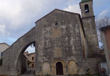
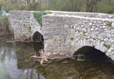
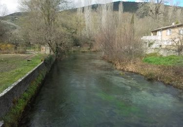
Randonnée Marche Brissac - Berges de l'Hérault et Moulin de Clauzel - Photo

Berges de l'Hérault et Moulin de Clauzel

 gadafo
gadafo

Utilisateur

© OpenStreetMap contributors
Longueur
Longueur
14,1 km
Altitude max
Altitude max
338 m
Dénivelé positif
Dénivelé positif
307 m
Km-Effort
Km-Effort  
18,2 km
Altitude min
Altitude min
117 m
Dénivelé négatif
Dénivelé négatif
307 m
Boucle
Boucle
Oui
Date de création :
2024-09-15 14:30:02.769
Dernière modification :
2024-09-15 14:31:44.056

(1 Avis)

Marche
Marche
4h08
Difficulté : Difficile

Scannez ce code QR pour ouvrir la randonnée dans l'application SityTrail

Application GPS de randonnée GRATUITE

Logo SityTrail SityTrail

IGN / Instituts géographiques

Télécharger SityTrail sur l'App Store Télécharger SityTrail sur Google Play

Logo SityTrail SityTrail World

Le monde est à vous

Télécharger SityTrail sur l'App Store Télécharger SityTrail sur Google Play Télécharger SityTrail sur Huawei AppGallery

À propos

Randonnée Marche de 14,1 km à découvrir à Occitanie, Hérault, Brissac. Cette randonnée est proposée par gadafo.

Profil altimétrique

Points d'intérêt

Point d'intérêt Saint-Bauzille-de-Putois - Ruines des Bautes - Photo
gadafo
SAINT-BAUZILLE-DE-PUTOIS 
Point d'intérêt Saint-Bauzille-de-Putois - Jonction avec la D986. Proche de l' - Photo
gadafo
SAINT-BAUZILLE-DE-PUTOIS 
Point d'intérêt Saint-Bauzille-de-Putois - Ruine et calvaire - Photo
gadafo
SAINT-BAUZILLE-DE-PUTOIS 

Localisation

Pays :
France
Région :
Occitanie
Département/Province :
Hérault
Commune :
Brissac
Localité :
Unknown
Départ:(Dec)
Départ:(UTM)
558797 ; 4855147 (31T) N.

Commentaires

Veuillez vous connecter pour laisser un commentaire ou une note


bel rando avec pique-nique sur les bords de l'Hérault


Randonnées à proximité

Randonnée Marche Saint-Bauzille-de-Putois - st bauzille de putois plus bord herault - Photo
Marche
GUIDE
randotines

Marche

Facile
(3)
Saint-Bauzille-de-Putois, Occitanie, Hérault, France
7 km | 8,8 km-effort
1h 59min
Oui
Randonnée Marche Brissac - Brissac   à Croix Ste Micisse - Photo
Marche
GUIDE
nadinebondoux

Marche

Moyen
Brissac, Occitanie, Hérault, France
19,8 km | 28 km-effort
6h 1min
Oui
Randonnée Marche Brissac - 34 brissac - Photo
Marche
GUIDE
randodyssée

Marche

Moyen
Brissac, Occitanie, Hérault, France
12,7 km | 21 km-effort
4h 46min
Oui
Randonnée Marche Brissac - Brissac - abime Rabanel - Roc Blanc - Notre-Dame-du-Suc - Photo
Marche
vertygo

Marche

Moyen
(1)
Brissac, Occitanie, Hérault, France
18,2 km | 29 km-effort
6h 7min
Oui
Randonnée Marche Notre-Dame-de-Londres - Ravin des Arc 01 - Photo
Marche
domlol34

Marche

Moyen
(3)
Notre-Dame-de-Londres, Occitanie, Hérault, France
5,9 km | 8,6 km-effort
1h 53min
Oui
Randonnée Marche Brissac - autour de Brissac - Photo
Marche
genevieve

Marche

Difficile
(2)
Brissac, Occitanie, Hérault, France
20 km | 33 km-effort
6h 42min
Oui
Randonnée Marche Brissac - camping - Photo
Marche
myjackotte

Marche

Facile
(1)
Brissac, Occitanie, Hérault, France
6,5 km | 7,9 km-effort
1h 36min
Oui
Randonnée Marche Brissac - Brissac, ND du Suc, Papeterie  - Photo
Marche
LBarel

Marche

Moyen
Brissac, Occitanie, Hérault, France
8,9 km | 12,5 km-effort
2h 50min
Oui
Randonnée A pied Brissac - BRISSAC- les trois termes aller retour  - Photo
A pied
JEANJOSY

A pied

Moyen
Brissac, Occitanie, Hérault, France
18 km | 28 km-effort
6h 21min
Oui


Fermer
Mes abonnements