


16,3 km | 27 km-effort

Utilisateur


Application GPS de randonnée GRATUITE
 SityTrail
IGN / Instituts géographiques
SityTrail World
Le monde est à vous
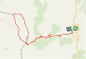
Randonnée Marche de 13,9 km à découvrir à Provence-Alpes-Côte d'Azur, Alpes-de-Haute-Provence, Uvernet-Fours. Cette randonnée est proposée par bozo1970.
Départ du pont à la côte 2062
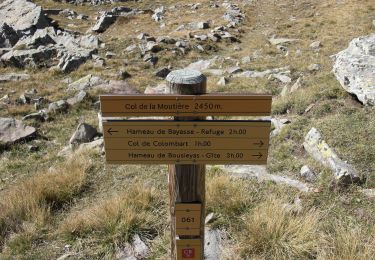
Direction le Petit Col de Talon en 1h16’ D 606 et 4km600 puis la crête du Cimet
Sommet en 2h21’ D 942 et 6km600
Descente vers la Croix de Paris-Saïgon, puis le long des ruisseaux jusqu’au GR56
Lac du Cimet vert cl
Petit Col de Talon en 3h19’ D 1027 et 9km330
A/R en 4h25’ D 1027 et 14km
Chamois


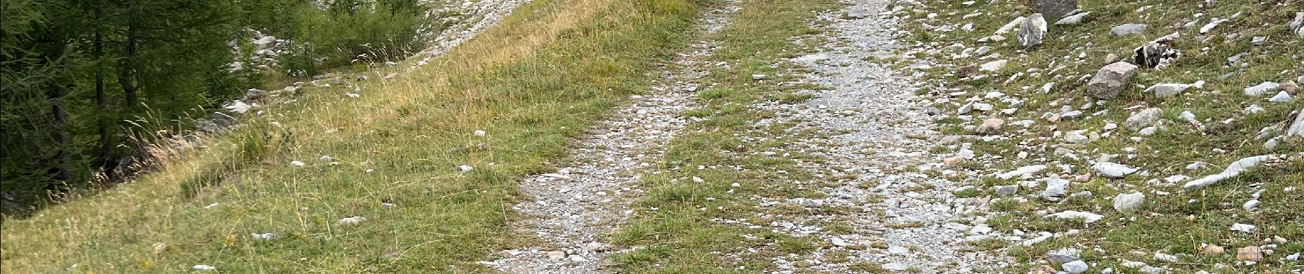
Marche

Marche

Marche

Marche

Marche

Marche

A pied

A pied
A pied