


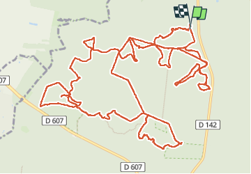

7,5 km | 8,2 km-effort

Utilisateur GUIDE


Application GPS de randonnée GRATUITE
 SityTrail
IGN / Instituts géographiques
SityTrail World
Le monde est à vous
Randonnée A pied de 22 km à découvrir à Île-de-France, Seine-et-Marne, Fontainebleau. Cette randonnée est proposée par chessyca.
Sortie effectuée avec PIerre par une journée plutôt sympa côté météo.
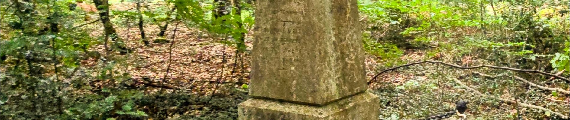
De jolies couleurs et un parcours très amusant. Fin de parcours écourtée sur les 2 derniers km - une montée en moins on avait pas vu le temps passer


Marche

Marche

Marche

Marche

Marche

Marche

Marche

Marche

Marche