


24 km | 32 km-effort

Utilisateur GUIDE


Application GPS de randonnée GRATUITE
 SityTrail
IGN / Instituts géographiques
SityTrail World
Le monde est à vous
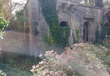
Randonnée Marche de 25 km à découvrir à Bretagne, Finistère, Crozon. Cette randonnée est proposée par donda.
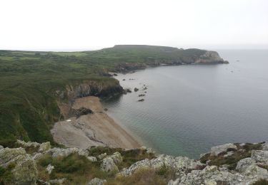
Après Bihan plage au parking nous avons quitté le GR pour le reprendre 1km plus loin pour éviter la pointe de Pen ar Vir (falaise ) causse beaucoup de vent et de pluie.
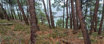
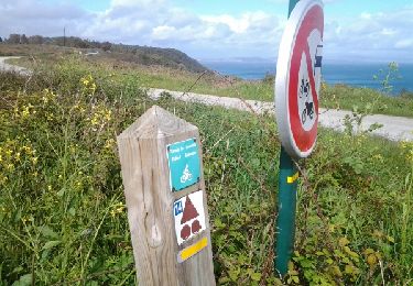
 - Photo 1")
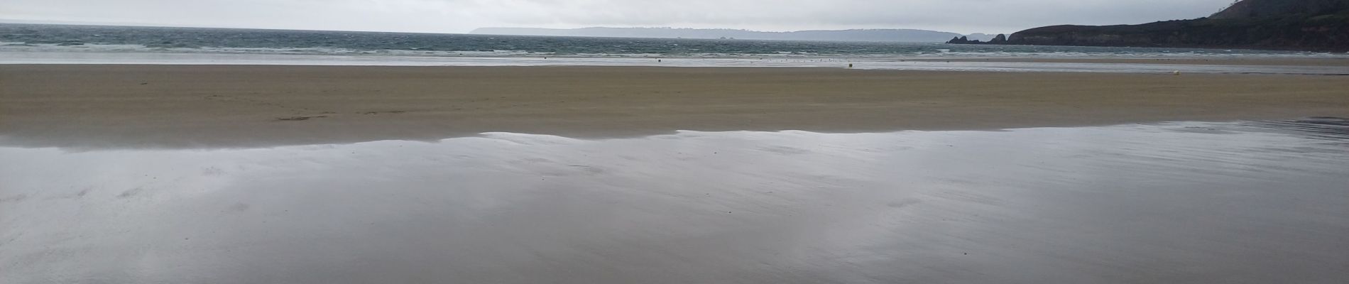
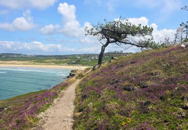
 - Photo 2")
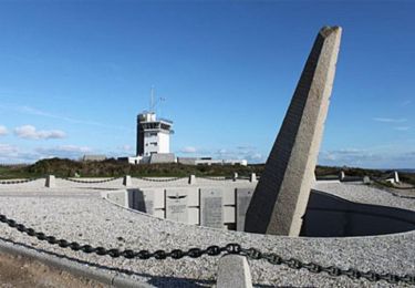
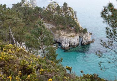
 - Photo 3")
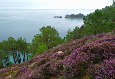
 - Photo 4")
 - Photo 5")
 - Photo 6")
 - Photo 7")
Marche
Marche
Marche
Marche

Marche
A pied
Marche

Marche
Marche