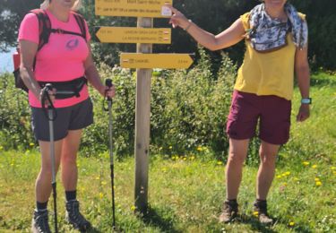
12,6 km | 13,9 km-effort
Fiche 4 - FEREL
DELEPLANQUEM
Utilisateur
Longueur
15,3 km
Altitude max
47 m
Dénivelé positif
193 m
Km-Effort
17,8 km
Altitude min
1 m
Dénivelé négatif
191 m
Boucle
Oui
Date de création :
2024-09-06 15:50:00.554
Dernière modification :
2024-09-06 17:42:58.297
4h03
Difficulté : Moyen
Application GPS de randonnée GRATUITE
À propos
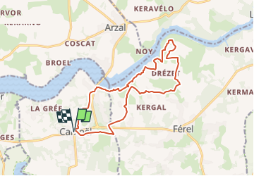
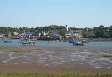
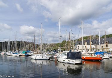
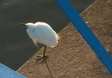
Randonnée Marche de 15,3 km à découvrir à Bretagne, Morbihan, Camoël. Cette randonnée est proposée par DELEPLANQUEM.
Description
Liaison CAMOEL-FEREL
Localisation
Pays :
France
Région :
Bretagne
Département/Province :
Morbihan
Commune :
Camoël
Localité :
Unknown
Départ:(Dec)
Départ:(UTM)
545445 ; 5258882 (30T) N.
Commentaires
Randonnées à proximité
Randonnée Pen Mahé à Penestin
sport
Très facile
Assérac,
Pays de la Loire,
Loire-Atlantique,
France
Inconnu
Oui
PR_56_Muzillac_BA_02_Circuit1b_Des-Vignes_20240503
Marche
Très facile
Muzillac,
Bretagne,
Morbihan,
France
9,6 km | 10,8 km-effort
2h 3min
Oui
Arzal boucle de la Vilaine
Marche
Facile
Arzal,
Bretagne,
Morbihan,
France
12,3 km | 13,9 km-effort
3h 22min
Non
rando 3 du 11 juin 2021
Marche
Facile
Camoël,
Bretagne,
Morbihan,
France
18,8 km | 21 km-effort
4h 42min
Non
Boucle ente le barrage d'Arzal et La Roche Bernard
Marche
Moyen
Camoël,
Bretagne,
Morbihan,
France
21 km | 25 km-effort
3h 23min
Oui
24.04.2019 - Tréhiguier à Penestin
Marche
Très facile
(1)
Pénestin,
Bretagne,
Morbihan,
France
9,6 km | 10,6 km-effort
2h 19min
Oui
Ferel La Vilaine
Marche
Moyen
Camoël,
Bretagne,
Morbihan,
France
14 km | 16,8 km-effort
3h 40min
Oui