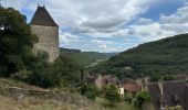

Périgord j2 Castelnaud

jpbonnemains
Utilisateur

Longueur
17,1 km

Altitude max
238 m

Dénivelé positif
510 m

Km-Effort
24 km

Altitude min
68 m

Dénivelé négatif
500 m
Boucle
Non
Date de création :
2024-09-05 07:38:36.0
Dernière modification :
2024-09-05 15:25:26.282
4h38
Difficulté : Facile

Application GPS de randonnée GRATUITE
À propos
Randonnée Marche de 17,1 km à découvrir à Nouvelle-Aquitaine, Dordogne, Castelnaud-la-Chapelle. Cette randonnée est proposée par jpbonnemains.
Description
Depuis le parking grande boucle très agréable. Attention si pluie certains passages sont glissants
Localisation
Pays :
France
Région :
Nouvelle-Aquitaine
Département/Province :
Dordogne
Commune :
Castelnaud-la-Chapelle
Localité :
Unknown
Départ:(Dec)
Départ:(UTM)
353898 ; 4963845 (31T) N.
Commentaires
Randonnées à proximité

La Roque-Gageac - Cazenac


Marche
Difficile
(1)
La Roque-Gageac,
Nouvelle-Aquitaine,
Dordogne,
France

12,9 km | 17,3 km-effort
3h 55min
Oui
Castelnaud 14,5km


Marche
Moyen
(1)
Castelnaud-la-Chapelle,
Nouvelle-Aquitaine,
Dordogne,
France

14,3 km | 18,3 km-effort
3h 41min
Oui

Vitrac Domme


Marche
Facile
(1)
La Roque-Gageac,
Nouvelle-Aquitaine,
Dordogne,
France

14,6 km | 19,1 km-effort
4h 4min
Oui
Boucle Beynac- La Roque Gageac


Marche
Moyen
Vézac,
Nouvelle-Aquitaine,
Dordogne,
France

16,3 km | 22 km-effort
4h 20min
Oui
boucle La Roque Gageac - Beynac


Marche
Difficile
La Roque-Gageac,
Nouvelle-Aquitaine,
Dordogne,
France

18,1 km | 27 km-effort
5h 7min
Oui

plus grand tour Roque Gageac


Marche
Très difficile
(1)
La Roque-Gageac,
Nouvelle-Aquitaine,
Dordogne,
France

16,5 km | 25 km-effort
5h 11min
Oui

Beynac-et-Cazenac - 16.3km 460m 4h05 (30mn) - 2013 07 27


Marche
Moyen
Beynac-et-Cazenac,
Nouvelle-Aquitaine,
Dordogne,
France

16,3 km | 22 km-effort
4h 5min
Oui
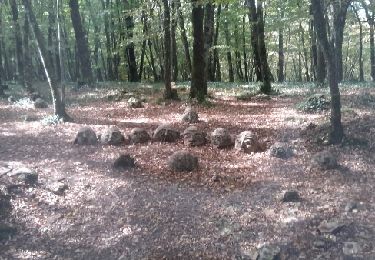
Jardin du château de Marquesac


Moteur
Très difficile
Vézac,
Nouvelle-Aquitaine,
Dordogne,
France

5,3 km | 6,8 km-effort
4h 19min
Oui
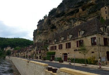
La Roque Gageac


Marche
Moyen
La Roque-Gageac,
Nouvelle-Aquitaine,
Dordogne,
France

9,7 km | 14,6 km-effort
3h 15min
Non


 SityTrail


