


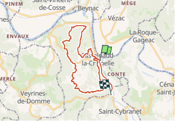


12,9 km | 17,3 km-effort

Utilisateur


Application GPS de randonnée GRATUITE
 SityTrail
IGN / Instituts géographiques
SityTrail World
Le monde est à vous
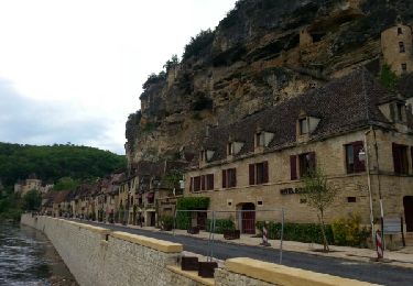
Randonnée Marche de 17,1 km à découvrir à Nouvelle-Aquitaine, Dordogne, Castelnaud-la-Chapelle. Cette randonnée est proposée par jpbonnemains.
Depuis le parking grande boucle très agréable. Attention si pluie certains passages sont glissants


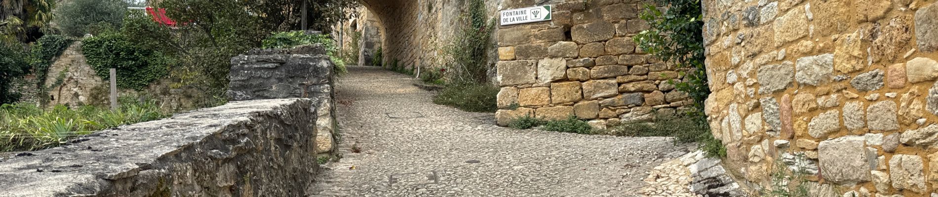
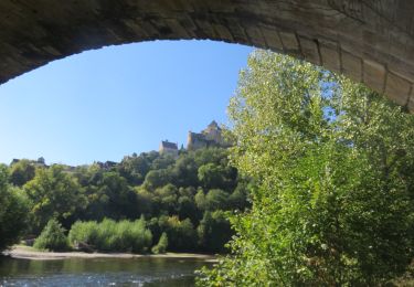
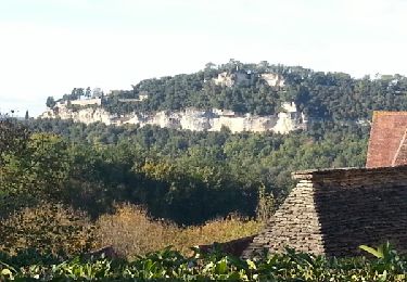
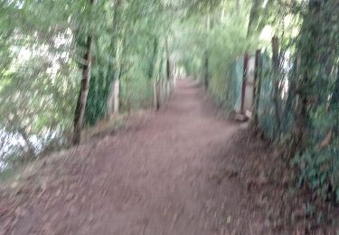
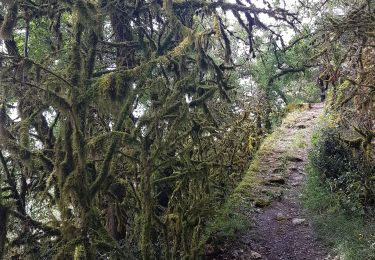
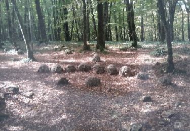
32 photos au total. Cliquez sur une photo pour les afficher toutes dans la galerie.
Marche
Marche

Marche
Marche
Marche
Marche

Marche
Moteur
Marche