


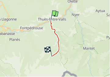


7,2 km | 15,3 km-effort


Utilisateur


Application GPS de randonnée GRATUITE
 SityTrail
IGN / Instituts géographiques
SityTrail World
Le monde est à vous
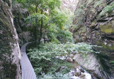
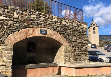
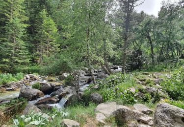
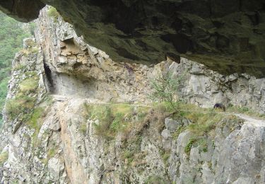
Randonnée Marche de 8,9 km à découvrir à Occitanie, Pyrénées-Orientales, Thuès-Entre-Valls. Cette randonnée est proposée par adelore.

Marche

Marche

Marche

Marche
Marche

Marche
Marche
Marche
A pied