


3,3 km | 4,6 km-effort


Utilisateur


Application GPS de randonnée GRATUITE
 SityTrail
IGN / Instituts géographiques
SityTrail World
Le monde est à vous
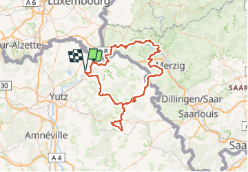
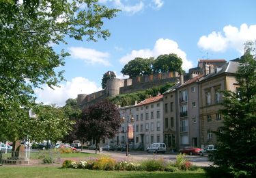
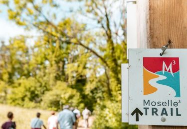
Randonnée Cheval de 132 km à découvrir à Grand Est, Moselle, Malling. Cette randonnée est proposée par Sibylline Chopin.
30/07 : ANZELING → MONNEREN
31/07 : MONNEREN → MALLING
01/08 : MALLING → SIERCK
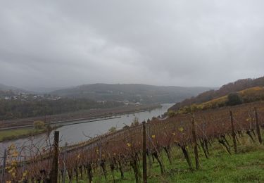
02/08 : SIERCK → ORSCHOLZ
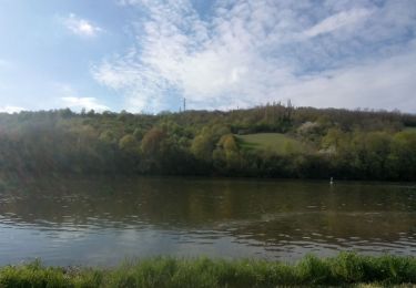
03/08 : ORSCHOLZ → HILBRINGEN
04/08 : HILBRINGEN → FERANGE
05/08 : FERANGE → ANZELING
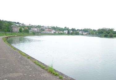
A pied

Marche
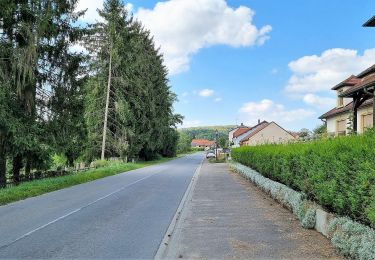
A pied
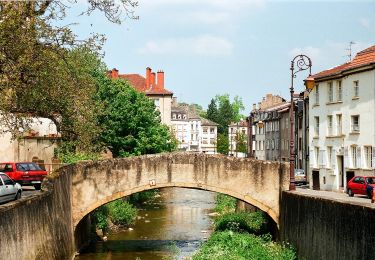
A pied
A pied
A pied
Marche nordique
Marche
A pied