


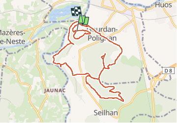

10,2 km | 17,1 km-effort

 (null)2d73a32012fbb405f85d3457f10971c41")
Utilisateur


Application GPS de randonnée GRATUITE
 SityTrail
IGN / Instituts géographiques
SityTrail World
Le monde est à vous
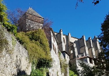
Randonnée Marche de 13,1 km à découvrir à Occitanie, Haute-Garonne, Gourdan-Polignan. Cette randonnée est proposée par (null) (null)2d73a32012fbb405f85d3457f10971c41.
Le bouche et Picon
Marche

Marche
Marche
A pied
A pied
Marche
Marche
A pied
Marche