


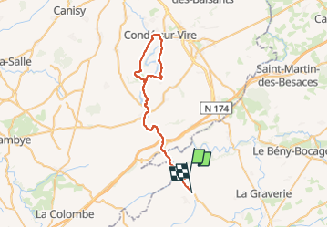

9,9 km | 11,9 km-effort


Utilisateur


Application GPS de randonnée GRATUITE
 SityTrail
IGN / Instituts géographiques
SityTrail World
Le monde est à vous
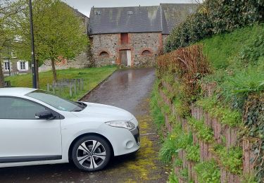
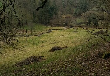
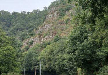
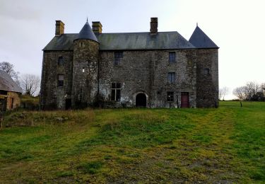
Randonnée Voiture de 50 km à découvrir à Normandie, Calvados, Landelles-et-Coupigny. Cette randonnée est proposée par perlimpinpin59.
Marche nordique
Marche
Marche
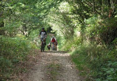
V.T.T.
Marche
Marche

V.T.C.
Vélo

Marche