13,4 km | 26 km-effort
Eureka!!!
STOQ
Utilisateur
Longueur
1,3 km
Altitude max
2176 m
Dénivelé positif
54 m
Km-Effort
1,9 km
Altitude min
2107 m
Dénivelé négatif
26 m
Boucle
Non
Date de création :
2024-08-25 10:45:30.242
Dernière modification :
2024-08-25 11:36:04.307
50m
Difficulté : Facile
Application GPS de randonnée GRATUITE
À propos
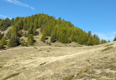
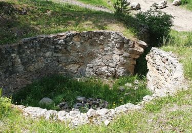
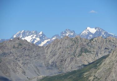
Randonnée Marche de 1,3 km à découvrir à Provence-Alpes-Côte d'Azur, Hautes-Alpes, Château-Ville-Vieille. Cette randonnée est proposée par STOQ.
Description
mission presqu'accomplie
à toi de finir le job
Localisation
Pays :
France
Région :
Provence-Alpes-Côte d'Azur
Département/Province :
Hautes-Alpes
Commune :
Château-Ville-Vieille
Localité :
Unknown
Départ:(Dec)
Départ:(UTM)
325283 ; 4953417 (32T) N.
Commentaires
Randonnées à proximité
Crêtes de Chambrettes
Marche
Moyen
(1)
Ceillac,
Provence-Alpes-Côte d'Azur,
Hautes-Alpes,
France
5h 53min
Oui
Tour du Queyras
V.T.T.
Très difficile
(1)
Château-Ville-Vieille,
Provence-Alpes-Côte d'Azur,
Hautes-Alpes,
France
32 km | 50 km-effort
3h 0min
Oui
les alpages de Furfande
Marche
Facile
Le Petit Jardin,
Provence-Alpes-Côte d'Azur,
Hautes-Alpes,
France
17 km | 29 km-effort
6h 57min
Oui
Ceillac - St Véran
Marche
Moyen
Ceillac,
Provence-Alpes-Côte d'Azur,
Hautes-Alpes,
France
13,5 km | 28 km-effort
7h 22min
Non
2024-11-05 Bramousse
Marche
Facile
Guillestre,
Provence-Alpes-Côte d'Azur,
Hautes-Alpes,
France
9,2 km | 17 km-effort
3h 21min
Oui
#1 Queyras 3j étape 1 Ceillac - Lac de Roue
Marche
Très difficile
Ceillac,
Provence-Alpes-Côte d'Azur,
Hautes-Alpes,
France
16,7 km | 33 km-effort
7h 34min
Non
ceillac ravin du clos des oiseaux 11kms 506m
Raquettes à neige
Difficile
Ceillac,
Provence-Alpes-Côte d'Azur,
Hautes-Alpes,
France
9,7 km | 16,5 km-effort
6h 39min
Oui
crête du Riou vert
Marche
Moyen
Ceillac,
Provence-Alpes-Côte d'Azur,
Hautes-Alpes,
France
14 km | 25 km-effort
6h 35min
Oui
circuit des fours à chaux
Marche
Facile
Ceillac,
Provence-Alpes-Côte d'Azur,
Hautes-Alpes,
France
7 km | 9,3 km-effort
2h 27min
Non