


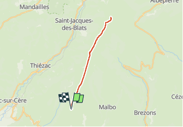

6,6 km | 10,5 km-effort

Utilisateur GUIDE


Application GPS de randonnée GRATUITE
 SityTrail
IGN / Instituts géographiques
SityTrail World
Le monde est à vous
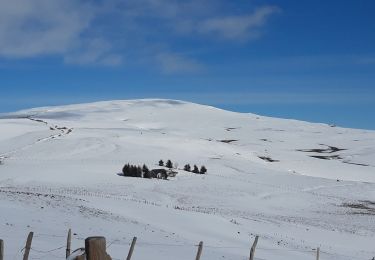
Randonnée Marche de 22 km à découvrir à Auvergne-Rhône-Alpes, Cantal, Pailherols. Cette randonnée est proposée par antignacs.
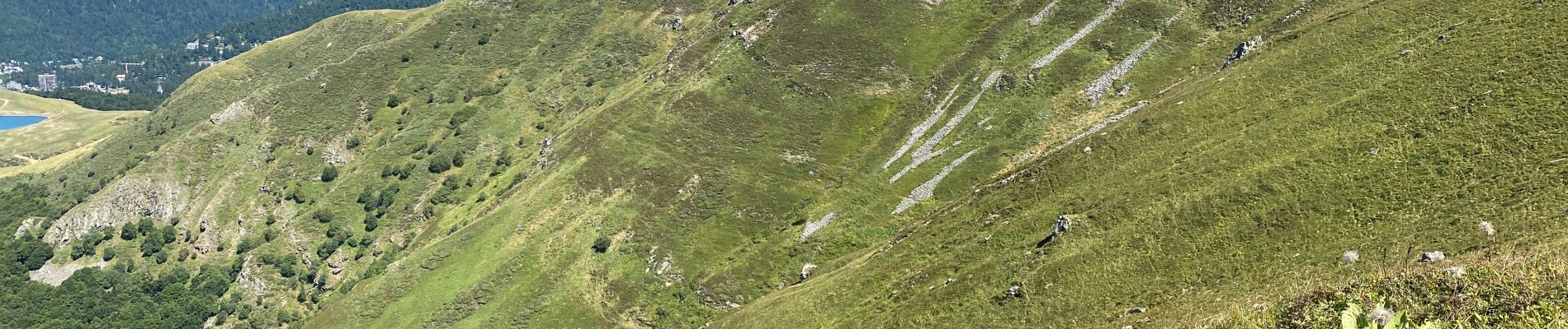
Magnifique piste (jusqu'à la chapelle du Cantal) puis sentier (jusqu'au plomb) à travers les estives et les troupeaux. C'est un aller/retour mais les vues sont magnifiques dans les deux sens. A faire évidemment par beau temps en partant le plus haut possible sur la route de la montagne après Pailherols.


Marche
Marche

Marche

Marche

Marche
Marche
Marche

Marche
Marche