


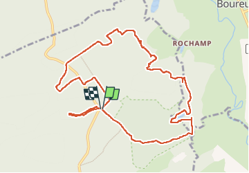

28 km | 35 km-effort


Utilisateur


Application GPS de randonnée GRATUITE
 SityTrail
IGN / Instituts géographiques
SityTrail World
Le monde est à vous
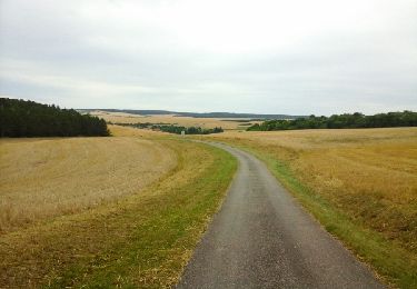
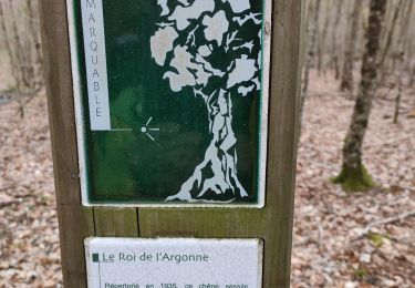
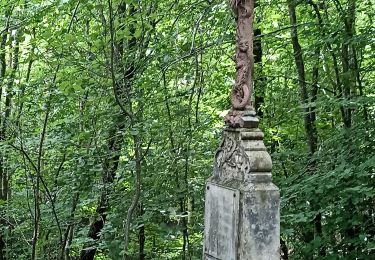
Randonnée Marche de 11,4 km à découvrir à Grand Est, Meuse, Lachalade. Cette randonnée est proposée par michel1025.
Marche
Marche nordique

Marche
Marche
Marche
Marche
Marche

Marche nordique