


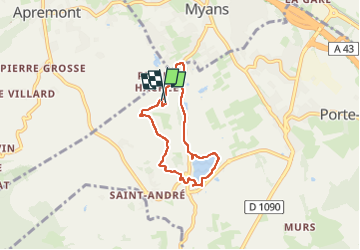

14,8 km | 35 km-effort


Utilisateur


Application GPS de randonnée GRATUITE
 SityTrail
IGN / Instituts géographiques
SityTrail World
Le monde est à vous
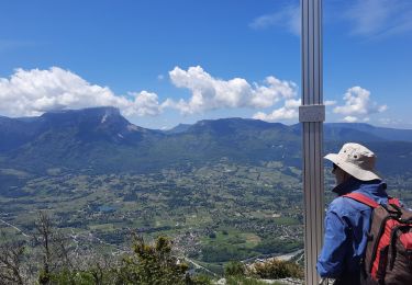
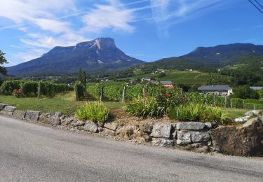
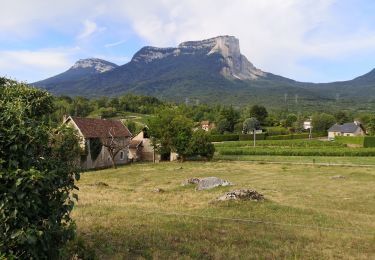
Randonnée Marche de 5,4 km à découvrir à Auvergne-Rhône-Alpes, Savoie, Porte-de-Savoie. Cette randonnée est proposée par black2boy.
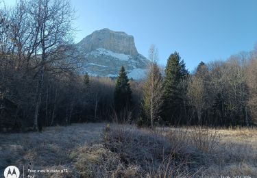
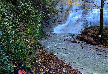
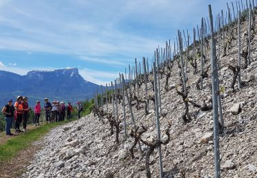
balade sur les petites routes autour du lac Saint André à partir de Maltaverne. Plutôt facile quelques passages plus caillouteux pas adapté aux poussettes.

Marche

Marche
Marche
V.T.T.
Marche nordique
Marche

Marche
Marche
Marche