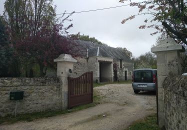
17 km | 18,3 km-effort
manthelan
darobes
Utilisateur
Longueur
8 km
Altitude max
112 m
Dénivelé positif
32 m
Km-Effort
8,4 km
Altitude min
101 m
Dénivelé négatif
32 m
Boucle
Oui
Date de création :
2024-08-18 06:40:08.667
Dernière modification :
2024-08-18 08:43:46.488
2h02
Difficulté : Moyen
Application GPS de randonnée GRATUITE
À propos
Randonnée Marche de 8 km à découvrir à Centre-Val de Loire, Indre-et-Loire, Manthelan. Cette randonnée est proposée par darobes.
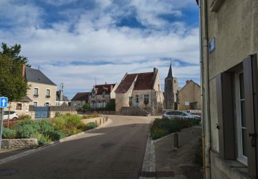
Localisation
Pays :
France
Région :
Centre-Val de Loire
Département/Province :
Indre-et-Loire
Commune :
Manthelan
Localité :
Unknown
Départ:(Dec)
Départ:(UTM)
334203 ; 5223303 (31T) N.
Commentaires
Randonnées à proximité
le Louroux - variante PR Boucle 2 - 17km 105m 3h45 (45mn) - 2023 09 27
Marche
Facile
Le Louroux,
Centre-Val de Loire,
Indre-et-Loire,
France
3h 45min
Oui
Louans - PR Grande boucle - 17.2km 80m 3h30 - 2020 10 10
Marche
Facile
Louans,
Centre-Val de Loire,
Indre-et-Loire,
France
17,2 km | 18,2 km-effort
3h 30min
Oui
Saint-Bauld - La Vallée de l'Echandon - 16.4km 170m 3h35 - 2020 09 26
Marche
Facile
Tauxigny-Saint-Bauld,
Centre-Val de Loire,
Indre-et-Loire,
France
16,4 km | 18,7 km-effort
3h 35min
Oui
Le Louroux - boucle 1 - 20.9km 100m 4h45 (35mn) - 2019 07 28
Marche
Facile
Le Louroux,
Centre-Val de Loire,
Indre-et-Loire,
France
21 km | 22 km-effort
4h 45min
Oui
Étang du Louroux
A pied
Facile
Le Louroux,
Centre-Val de Loire,
Indre-et-Loire,
France
5,5 km | 5,8 km-effort
1h 19min
Oui
le Louroux
Marche
Très facile
Le Louroux,
Centre-Val de Loire,
Indre-et-Loire,
France
21 km | 0 m-effort
5h 55min
Oui
Manthelan
Marche
Facile
Manthelan,
Centre-Val de Loire,
Indre-et-Loire,
France
9,2 km | 9,9 km-effort
2h 1min
Oui
St Bauld
Marche
Facile
Tauxigny-Saint-Bauld,
Centre-Val de Loire,
Indre-et-Loire,
France
10,8 km | 11,9 km-effort
2h 38min
Oui
Louans grande boucle
Marche
Très facile
Louans,
Centre-Val de Loire,
Indre-et-Loire,
France
15,5 km | 16,5 km-effort
3h 31min
Non