22 km | 32 km-effort
rdv colmar
accelascien
Utilisateur
Longueur
482 m
Altitude max
195 m
Dénivelé positif
4 m
Km-Effort
525 m
Altitude min
190 m
Dénivelé négatif
1 m
Boucle
Non
Date de création :
2024-08-17 12:27:02.632
Dernière modification :
2024-08-17 12:41:20.095
9m
Difficulté : Facile
Application GPS de randonnée GRATUITE
À propos
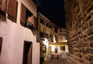
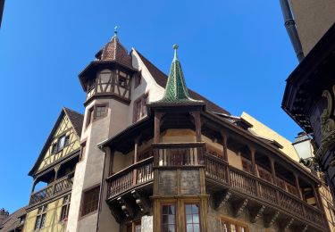
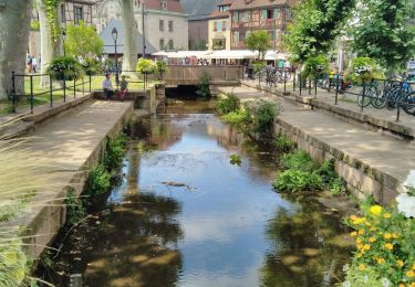
Randonnée Marche de 482 m à découvrir à Grand Est, Haut-Rhin, Colmar. Cette randonnée est proposée par accelascien.
Localisation
Pays :
France
Région :
Grand Est
Département/Province :
Haut-Rhin
Commune :
Colmar
Localité :
Unknown
Départ:(Dec)
Départ:(UTM)
377669 ; 5326871 (32U) N.
Commentaires
Randonnées à proximité
2023-12-29 Marche Hagueneck Pflixbourg Hohlandsbourg
Marche
Moyen
Eguisheim,
Grand Est,
Haut-Rhin,
France
7h 16min
Oui
Covid-19 - A la recherche du cercle parfait
Course à pied
Très facile
(1)
Colmar,
Grand Est,
Haut-Rhin,
France
11,2 km | 11,9 km-effort
1h 0min
Oui
grand tour de Colmar
Marche
Très facile
(1)
Colmar,
Grand Est,
Haut-Rhin,
France
4,7 km | 5,1 km-effort
1h 22min
Oui
eguishem- vignoble et château
Marche
Moyen
Eguisheim,
Grand Est,
Haut-Rhin,
France
9,3 km | 13 km-effort
2h 34min
Oui
Aujourd'hui
Marche
Moyen
(1)
Eguisheim,
Grand Est,
Haut-Rhin,
France
8,4 km | 11,5 km-effort
2h 37min
Oui
Colmar petite Venise
Marche
Colmar,
Grand Est,
Haut-Rhin,
France
9,3 km | 10,1 km-effort
3h 16min
Oui
TREK ALSACIEN (balade découverte de Colmar)
Marche
Très facile
Colmar,
Grand Est,
Haut-Rhin,
France
6,4 km | 7 km-effort
2h 50min
Oui
Rando des cinq châteaux
Marche
Moyen
Eguisheim,
Grand Est,
Haut-Rhin,
France
18,4 km | 28 km-effort
5h 19min
Oui
Sur les sentiers d'Holtzwihr et de Riedwihr
Marche
Très facile
Porte-du-Ried,
Grand Est,
Haut-Rhin,
France
16,6 km | 18,2 km-effort
3h 12min
Oui