


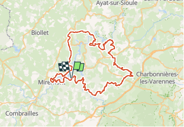

34 km | 44 km-effort


Utilisateur


Application GPS de randonnée GRATUITE
 SityTrail
IGN / Instituts géographiques
SityTrail World
Le monde est à vous
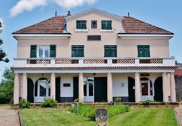
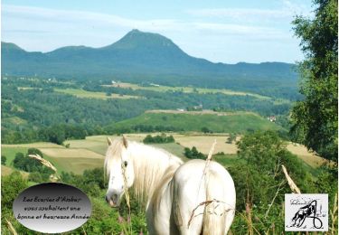
Randonnée Cheval de 96 km à découvrir à Auvergne-Rhône-Alpes, Puy-de-Dôme, Saint-Jacques-d'Ambur. Cette randonnée est proposée par Nathalie Salles-Tourreix.
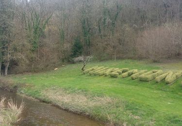
Accès à la cascade de Saint Priest en marchant dans la rivière (berges encombrées et passerelle peu fiable)
Traversée à gué (pas par le pont)
Descente moins raide en prenant le tournant (en venant de Saint Priest). Remontée sur la Siouve très pentue et rocailleuse
Aires et Tables de Piques Nique juste avant Saint Priest en venant de Confolant (entre la Barge et la route) et en sortie de Saint Priest début du chemin de la Cascade après le GIte des Cascades.
Chemin encombré de végetation à l'approche de SAint Priest en venant de Confolant)
Eviter 300m de goudron en prenant le PR vert en sortie de Lacost
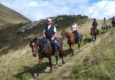
Randonnée équestre
A pied
A pied
A pied
Marche
Randonnée équestre
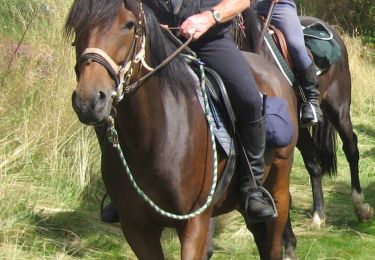
Randonnée équestre
Randonnée équestre
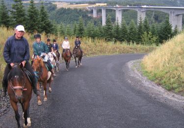
Randonnée équestre