


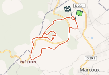

18,8 km | 27 km-effort

Utilisateur


Application GPS de randonnée GRATUITE
 SityTrail
IGN / Instituts géographiques
SityTrail World
Le monde est à vous
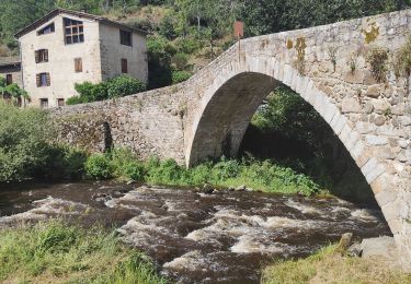
Randonnée Marche de 4,8 km à découvrir à Auvergne-Rhône-Alpes, Loire, Marcoux. Cette randonnée est proposée par sebastienu.
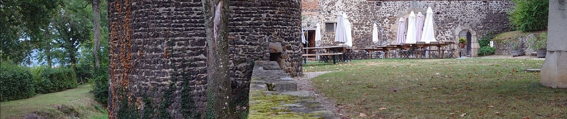
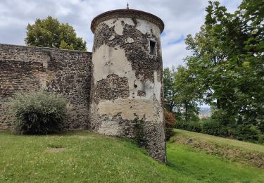
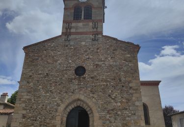
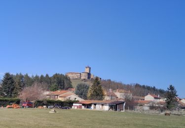
Autour du château de Goutelas, les bornes culturelles content les amours de Céladon, la géologie et les produits locaux (vins du Forez et eau pétillante)


Marche
Marche
Marche
Marche
Marche
Marche

Marche

A pied
Marche