


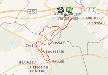

15 km | 18,4 km-effort


Utilisateur


Application GPS de randonnée GRATUITE
 SityTrail
IGN / Instituts géographiques
SityTrail World
Le monde est à vous
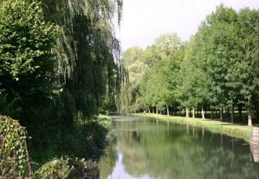
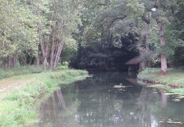
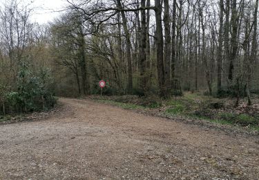
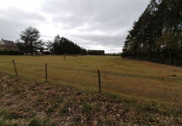
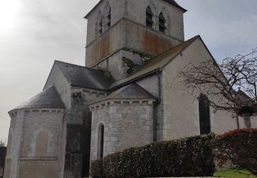
Randonnée Marche de 16,4 km à découvrir à Centre-Val de Loire, Loir-et-Cher, Saint-Lubin-en-Vergonnois. Cette randonnée est proposée par danchal.
marche soutenue, sans difficulté
Marche
Marche
Marche

Marche
Marche
Marche
Marche
Marche
Marche