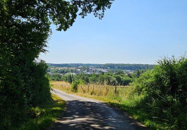
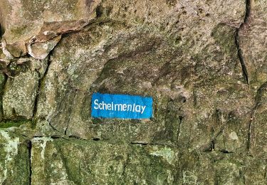
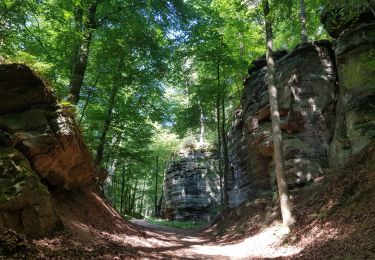
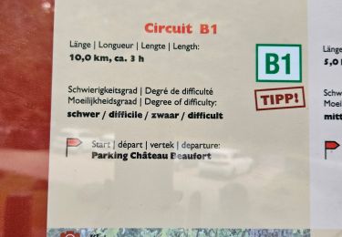
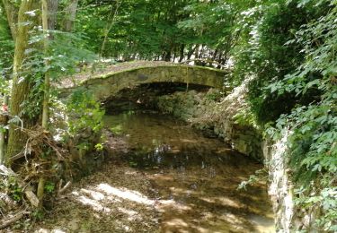
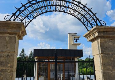
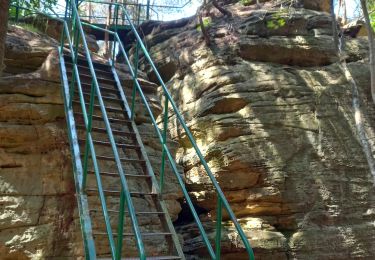
Randonnée Marche Waldbillig - Müllerthal W7 par la déviation  - Photo

Müllerthal W7 par la déviation

 mumu.larandonneuse
mumu.larandonneuse

Utilisateur GUIDE

© OpenStreetMap contributors
Longueur
Longueur
11,3 km
Altitude max
Altitude max
377 m
Dénivelé positif
Dénivelé positif
264 m
Km-Effort
Km-Effort  
14,8 km
Altitude min
Altitude min
211 m
Dénivelé négatif
Dénivelé négatif
265 m
Boucle
Boucle
Oui
Date de création :
2024-08-12 08:31:08.854
Dernière modification :
2024-08-12 18:13:58.413

(0 Avis)

Marche
Marche
2h46
Difficulté : Moyen

Scannez ce code QR pour ouvrir la randonnée dans l'application SityTrail

Application GPS de randonnée GRATUITE

Logo SityTrail SityTrail

IGN / Instituts géographiques

Télécharger SityTrail sur l'App Store Télécharger SityTrail sur Google Play

Logo SityTrail SityTrail World

Le monde est à vous

Télécharger SityTrail sur l'App Store Télécharger SityTrail sur Google Play Télécharger SityTrail sur Huawei AppGallery

À propos

Randonnée Marche de 11,3 km à découvrir à Inconnu, Canton Echternach, Waldbillig. Cette randonnée est proposée par mumu.larandonneuse.

Description

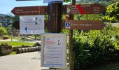
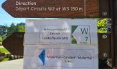
Déviation en cours en 08/2024.

▪︎ Heringer Millen
Ce moulin superbement restauré du 17e siècle abrite un musée des moulins, une information touristique, une grande roue de moulin toujours en fonction et un ancien four en pierre de bois où le pain est fabriqué maison.

▪︎ Kalktuffquell
Au site de la source de tuffeau dans la vallée de l’Ernz Noire, l’eau calcaire très claire coule du rocher dans le petit bassin.
Le flamboiement des couleurs de l’eau et des roches ainsi que la diversité des mousses sont particulièrement impressionnants.

▪︎ Passage en bois d’une longueur de 600 m qui longe l’Ernz Noire

▪︎ La cascade du "Schiessentümpel", un lieu très photogénique du Müllerthal.

ℹ️ https://www.mullerthal-trail.lu/fr/fiche/walking/sentier-local-w7

Profil altimétrique

Photos

Localisation

Pays :
Luxembourg
Région :
Inconnu
Département/Province :
Canton Echternach
Commune :
Waldbillig
Localité :
Unknown
Départ:(Dec)
Départ:(UTM)
306044 ; 5518747 (32U) N.

Randonnées à proximité

Randonnée Marche Waldbillig - Haller - Sentier_local_-_W4 - Photo
Marche
GUIDE
mumu.larandonneuse

Marche

Moyen
(1)
Waldbillig, Inconnu, Canton Echternach, Luxembourg
6,2 km | 7,8 km-effort
1h 45min
Oui
Randonnée Marche Consdorf - Consdorf - C6 - Photo
Marche
GUIDE
mumu.larandonneuse

Marche

Moyen
(1)
Consdorf, Inconnu, Canton Echternach, Luxembourg
5,8 km | 7,3 km-effort
1h 39min
Oui
Randonnée Marche Consdorf - Consdorf - C2 (Müllerthal) - Photo
Marche
GUIDE
mumu.larandonneuse

Marche

Facile
(1)
Consdorf, Inconnu, Canton Echternach, Luxembourg
4,2 km | 5,5 km-effort
1h 15min
Oui
Randonnée Marche Consdorf - Consdorf - Mullerthal - Photo
Marche
GUIDE
mumu.larandonneuse

Marche

Moyen
(2)
Consdorf, Inconnu, Canton Echternach, Luxembourg
9 km | 12,3 km-effort
2h 48min
Oui
Randonnée Marche Berdorf - Berdorf - B2 - Müllerthal - Photo
Marche
GUIDE
mumu.larandonneuse

Marche

Moyen
(2)
Berdorf, Inconnu, Canton Echternach, Luxembourg
6,7 km | 8,5 km-effort
1h 35min
Oui
Randonnée Marche Beaufort - Beaufort - B1 - Photo
Marche
GUIDE
mumu.larandonneuse

Marche

Moyen
(1)
Beaufort, Inconnu, Canton Echternach, Luxembourg
10,6 km | 13,6 km-effort
3h 5min
Oui
Randonnée Marche Consdorf - Consdorf - Sentier local C1  - Photo
Marche
GUIDE
mumu.larandonneuse

Marche

Facile
(1)
Consdorf, Inconnu, Canton Echternach, Luxembourg
1,9 km | 2,5 km-effort
34min
Oui
Randonnée Marche Berdorf - Berdorf - B8 - Müllerthal - Photo
Marche
GUIDE
mumu.larandonneuse

Marche

Moyen
(2)
Berdorf, Inconnu, Canton Echternach, Luxembourg
11,7 km | 15 km-effort
3h 24min
Oui
Randonnée Marche Waldbillig - Mullerthal randonnée magnifique - Photo
Marche
Alfredy

Marche

Difficile
(4)
Waldbillig, Inconnu, Canton Echternach, Luxembourg
9,3 km | 12,9 km-effort
4h 21min
Oui


Fermer
Mes abonnements