


17,2 km | 27 km-effort


Utilisateur


Application GPS de randonnée GRATUITE
 SityTrail
IGN / Instituts géographiques
SityTrail World
Le monde est à vous
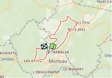
Randonnée Marche de 13,8 km à découvrir à Bourgogne-Franche-Comté, Doubs, Morteau. Cette randonnée est proposée par eltonnermou.
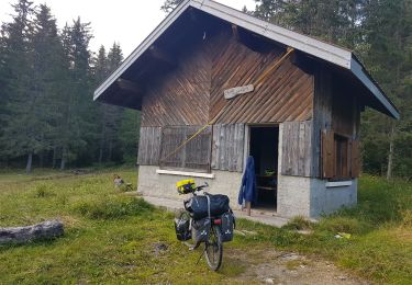
parking rue du bois du fol
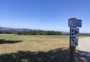
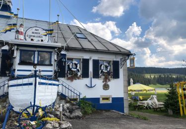
de très belles vues sur la ville de Morteau et son val ; et une fois arrivé "chez Fraichot", la vue vous prend aux yeux, vue sur l'autre versant. Un peu de goudron plus loin vous mènera au belvédère du mont Vouillot. Lors de la descente profitez de remplir vos yeux, et observez la faune et/ou la flore. La montée vers les Arces est un peu raide. Lors du passage des Arces pour rejoindre le proche lotissement de Morteau nécessite d'être vigilant (surtout si c'est le retour des frontaliers).
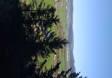
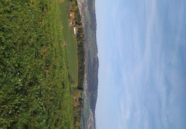
vous aurez peut-être la chance de voir l'envol de parapentes.
Marche
Marche
Marche
Cyclotourisme
Marche
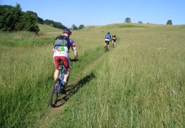
V.T.T.
V.T.C.
Vélo de route
Vélo