


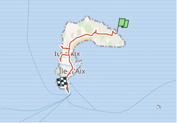

7,7 km | 8,2 km-effort

Utilisateur


Application GPS de randonnée GRATUITE
 SityTrail
IGN / Instituts géographiques
SityTrail World
Le monde est à vous
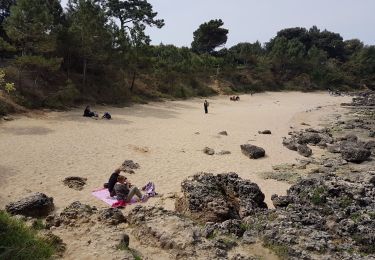
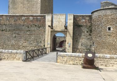
Randonnée V.T.C. de 5 km à découvrir à Nouvelle-Aquitaine, Charente-Maritime, Île-d'Aix. Cette randonnée est proposée par jpbonnemains.
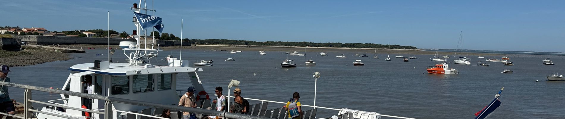
Au départ de st Martin, au large de Boyard . Déjeuner très agréable et très bon au Napoléon, puis tour de l’île à vélo avec bain à la grande plage
Retour bateau 😊


Marche

Marche
Marche

Marche

Marche
V.T.C.
Marche
Marche
Marche