Randonnée Marche Forges-les-Eaux - Forges les Eaux.Vers la fontaine de la Chevrette  - Photo

Forges les Eaux.Vers la fontaine de la Chevrette

 MichelRando7656
MichelRando7656

Utilisateur

© OpenStreetMap contributors
Longueur
Longueur
5,5 km
Altitude max
Altitude max
168 m
Dénivelé positif
Dénivelé positif
57 m
Km-Effort
Km-Effort  
6,2 km
Altitude min
Altitude min
132 m
Dénivelé négatif
Dénivelé négatif
58 m
Boucle
Boucle
Oui
Date de création :
2024-08-08 12:30:42.585
Dernière modification :
2024-08-08 14:07:03.99

(0 Avis)

Marche
Marche
1h35
Difficulté : Moyen

Scannez ce code QR pour ouvrir la randonnée dans l'application SityTrail

Application GPS de randonnée GRATUITE

Logo SityTrail SityTrail

IGN / Instituts géographiques

Télécharger SityTrail sur l'App Store Télécharger SityTrail sur Google Play

Logo SityTrail SityTrail World

Le monde est à vous

Télécharger SityTrail sur l'App Store Télécharger SityTrail sur Google Play Télécharger SityTrail sur Huawei AppGallery

À propos

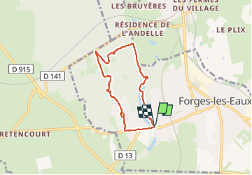
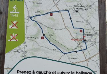
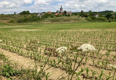
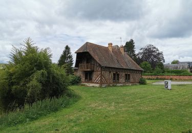
Randonnée Marche de 5,5 km à découvrir à Normandie, Seine-Maritime, Forges-les-Eaux. Cette randonnée est proposée par MichelRando7656.

Description

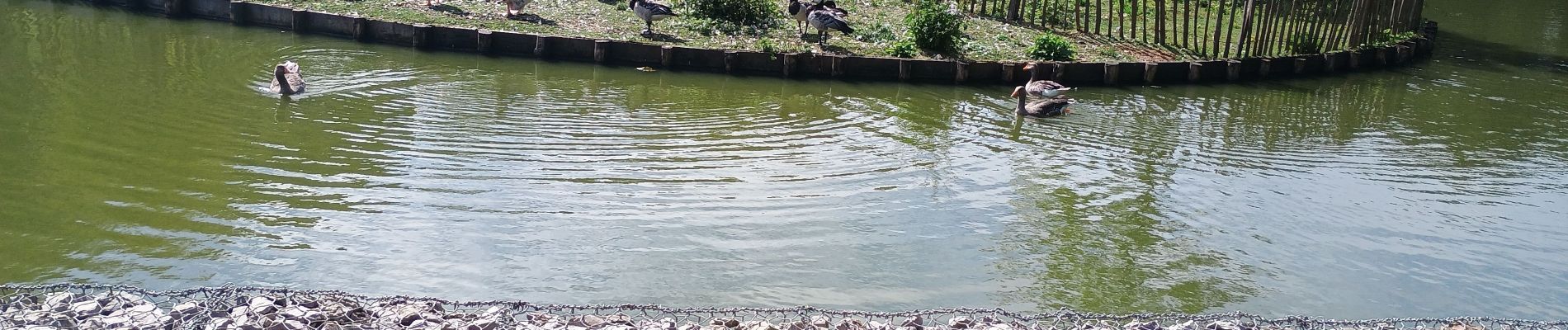
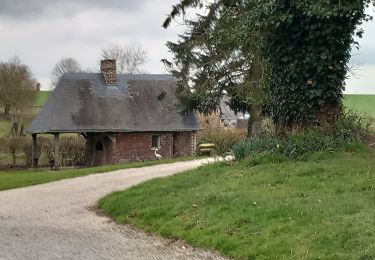
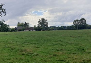
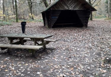
Beau parcours forestier.

Profil altimétrique

Photos

Localisation

Pays :
France
Région :
Normandie
Département/Province :
Seine-Maritime
Commune :
Forges-les-Eaux
Localité :
Forges-les-Eaux
Départ:(Dec)
Départ:(UTM)
393871 ; 5496224 (31U) N.

Randonnées à proximité

Randonnée Marche Mauquenchy - mauquanchy - Photo
Marche
nicole.reine@wanadoo.fr

Marche

Moyen
Mauquenchy, Normandie, Seine-Maritime, France
9,6 km | 11,2 km-effort
2h 35min
Oui
Randonnée Marche Forges-les-Eaux - Forges - Serqueux par voie verte puis campagne - Photo
Marche
Marie-Claire-mcp

Marche

Moyen
Forges-les-Eaux, Normandie, Seine-Maritime, France
8 km | 8,9 km-effort
1h 50min
Oui
Randonnée Marche Mauquenchy - Mauquenchy .  - Photo
Marche
MichelRando7656

Marche

Moyen
Mauquenchy, Normandie, Seine-Maritime, France
10,9 km | 12,7 km-effort
3h 39min
Oui
Randonnée Marche Forges-les-Eaux - Forges les eaux . Lacs et forets  - Photo
Marche
MichelRando7656

Marche

Facile
Forges-les-Eaux, Normandie, Seine-Maritime, France
10,3 km | 12,1 km-effort
3h 13min
Oui
Randonnée Marche Mauquenchy - Mauquenchy - Photo
Marche
jpblimond

Marche

Moyen
Mauquenchy, Normandie, Seine-Maritime, France
14,2 km | 17,1 km-effort
3h 53min
Oui
Randonnée Marche Rouvray-Catillon - Rouvray-Vatillon  - Photo
Marche
MichelRando7656

Marche

Difficile
Rouvray-Catillon, Normandie, Seine-Maritime, France
12,3 km | 15 km-effort
3h 23min
Oui
Randonnée Marche Forges-les-Eaux - forges les eaux - Photo
Marche
loursblanc

Marche

Très facile
Forges-les-Eaux, Normandie, Seine-Maritime, France
9,8 km | 11,3 km-effort
2h 38min
Oui
Randonnée A pied Roncherolles-en-Bray - FR-9 - Photo
A pied
GUIDE+

A pied

Moyen
Roncherolles-en-Bray, Normandie, Seine-Maritime, France
19,9 km | 23 km-effort
5h 19min
Oui
Randonnée Cyclotourisme Forges-les-Eaux - vtt - Photo
Cyclotourisme
matt76770

Cyclotourisme

Très facile
Forges-les-Eaux, Normandie, Seine-Maritime, France
48 km | 51 km-effort
2h 38min
Non


Fermer
Mes abonnements