


21 km | 33 km-effort

Utilisateur


Application GPS de randonnée GRATUITE
 SityTrail
IGN / Instituts géographiques
SityTrail World
Le monde est à vous
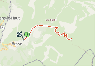
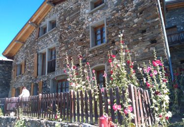
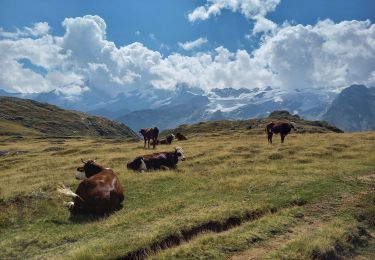
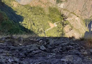
Randonnée de 9 km à découvrir à Auvergne-Rhône-Alpes, Isère, Besse. Cette randonnée est proposée par Pascal Maufroy.
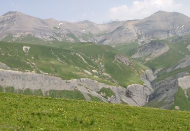
Monter au col et Georges à partir de Besse.
Pas de difficulté particulière si ce n’est que ça monte fort.

Marche
Ski de randonnée
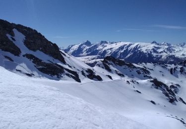
Ski de randonnée

Marche
Vélo électrique
Marche
Marche
Marche
Marche