


7,3 km | 11,4 km-effort


Utilisateur


Application GPS de randonnée GRATUITE
 SityTrail
IGN / Instituts géographiques
SityTrail World
Le monde est à vous
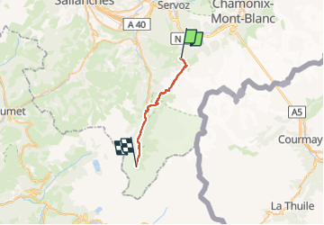
Randonnée Marche de 19,2 km à découvrir à Auvergne-Rhône-Alpes, Haute-Savoie, Saint-Gervais-les-Bains. Cette randonnée est proposée par Timothée ZARAGORI.
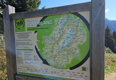
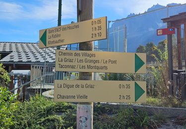
départ des Houches -> refuge de la Balme par la variante du col du Tricot:
21km : 1100m de D , de 1243 D-, prévisionnel 9H30
https://fr.wikiloc.com/itineraires-randonnee/cr-adventures-250722-tmb-day-1-les-houches-y-bellevue-cable-car-y-col-de-tricot-y-les-contamines-y-109009705
Prendre le téléphérique Bellevue pour arriver au point Bellevue qui est LE POINT de départ du TMB, arrivée directement sur la variante du Col de Tricot
ATTENTION : vérifier les horaires de départ et réserver à l’avance les tickets d’accès pour gagner du temps le matin
Bellevue
➡️Col de Tricot
➡️ Refuge du Miage
➡️ Auberge du Truc
➡️ Les Contamines
➡️ Notre Dame de la Gorge
➡️ Refuge de Nant Borrant
➡️ Refuge de la Balme
Nuit en Bivouac sur aire libre du refuge de la Balme

Marche

Marche

Marche

Marche
Marche
Marche
Marche
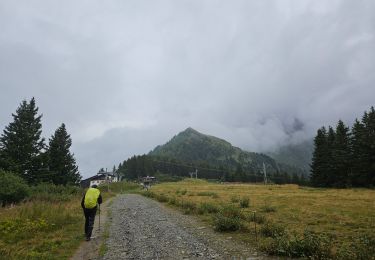
Marche
Marche