


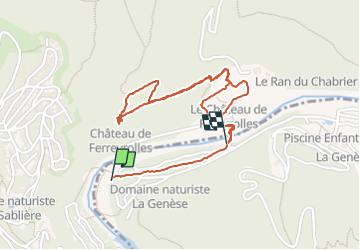

16,9 km | 24 km-effort


Utilisateur


Application GPS de randonnée GRATUITE
 SityTrail
IGN / Instituts géographiques
SityTrail World
Le monde est à vous
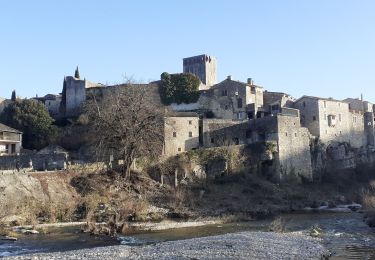
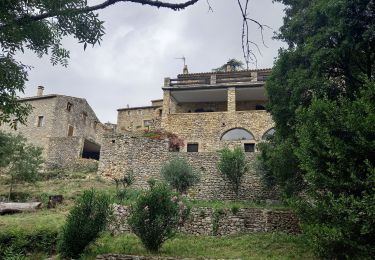
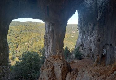
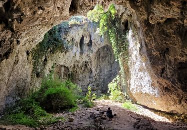
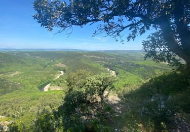
Randonnée Marche de 2,5 km à découvrir à Occitanie, Gard, Méjannes-le-Clap. Cette randonnée est proposée par jll7513.
Petite rando, sympa au départ du camping, passage à gué avant les poubelles du camping, le plus possible sur la retenue faite en pierres. La rando peut être faite en Randonue car elle fait partie du domaine du camping Feyrrérol.


Marche
Marche
Marche
Marche
Marche