


14,2 km | 21 km-effort


Utilisateur


Application GPS de randonnée GRATUITE
 SityTrail
IGN / Instituts géographiques
SityTrail World
Le monde est à vous
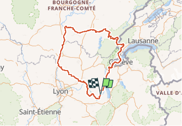
Randonnée Cyclotourisme de 592 km à découvrir à Auvergne-Rhône-Alpes, Savoie, La Balme. Cette randonnée est proposée par ericf64.
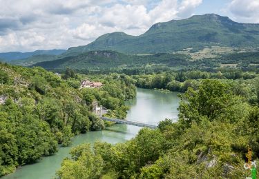
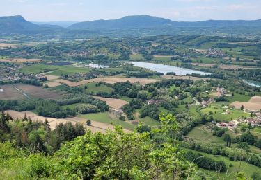
j 1/8 de La Balme à Lagnieu
j 2/8 Lagnieu à Toissey
j 3/8 Toissey à Ouroux sur Saône
j 4/8 Ouroux à Chatillon
j 5/8 Chatillon à la forêt de joux devant
j 6/8 bois de la joux devant à Suisse 6 km après LaCure
j 7/8 La Cure à Chancy SUISSE
j 8/8 Chancy à La Balme
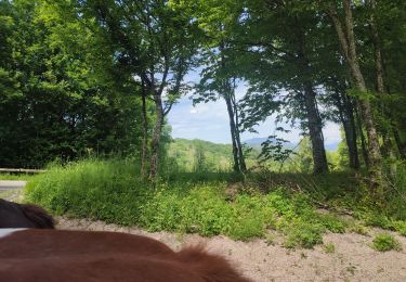
Randonnée équestre
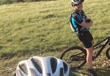
V.T.T.
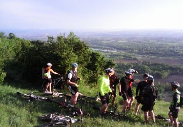
V.T.T.
Marche

V.T.T.
V.T.T.
Marche
Randonnée équestre
V.T.T.