


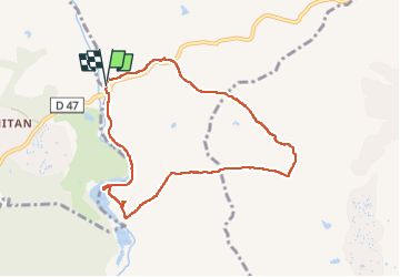

17,3 km | 26 km-effort

Utilisateur


Application GPS de randonnée GRATUITE
 SityTrail
IGN / Instituts géographiques
SityTrail World
Le monde est à vous
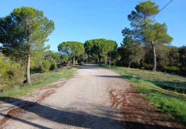
Randonnée Marche de 8,6 km à découvrir à Provence-Alpes-Côte d'Azur, Var, Le Muy. Cette randonnée est proposée par mb83serre.
Possibilité de rallonger cette marche.
A partir de 46 faire 44,45,53,66 et retour 69.
On rajoute réduction et rajout faits environ 1,5 Km


Marche

Marche

Marche

Marche

Marche

Marche
Marche
Marche
A pied