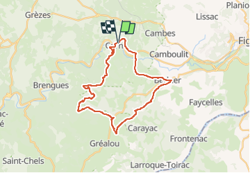

11,7 km | 16,3 km-effort


Utilisateur


Application GPS de randonnée GRATUITE
 SityTrail
IGN / Instituts géographiques
SityTrail World
Le monde est à vous
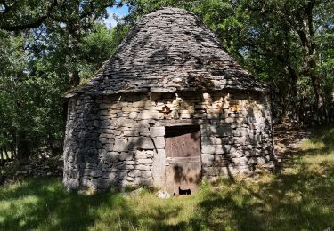
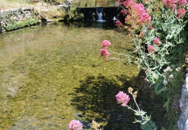
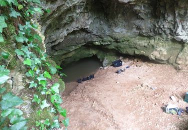
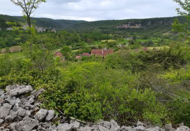
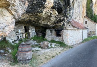
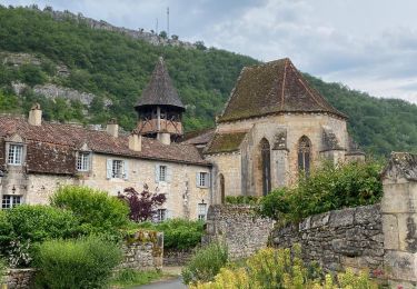
Randonnée Vélo électrique de 30 km à découvrir à Occitanie, Lot, Corn. Cette randonnée est proposée par sebcar.
Chemins des crêtes, e, passant à 400 mètres d'altitude, retour par le GR.
Marche
Marche
Marche
Marche
Marche

sport
Marche