


5,4 km | 6,3 km-effort

Utilisateur GUIDE


Application GPS de randonnée GRATUITE
 SityTrail
IGN / Instituts géographiques
SityTrail World
Le monde est à vous
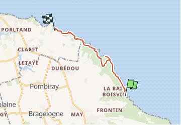
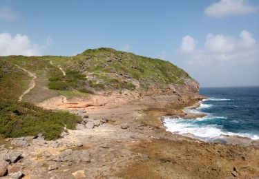
Randonnée Marche de 10,8 km à découvrir à Guadeloupe, Inconnu, Saint-François. Cette randonnée est proposée par toutankhcarton.
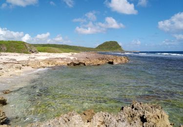
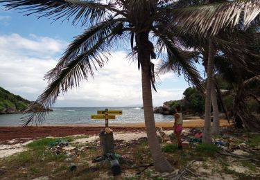
Départ depuis le parking de la chapelle de la Baie Olive (St François)
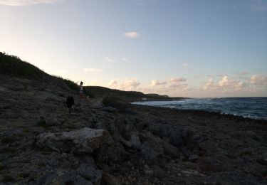
Quelques passages en s'aidant de cordes installées.
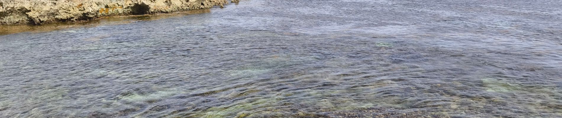
Présence de sargasses del'Anse à la Baie à l'Anse à l'Eau


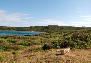
A pied
V.T.T.
Marche
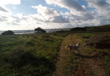
Marche
Marche
Marche
Marche
Marche
Marche