


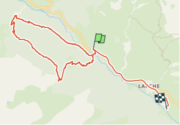

10,4 km | 15,4 km-effort


Utilisateur


Application GPS de randonnée GRATUITE
 SityTrail
IGN / Instituts géographiques
SityTrail World
Le monde est à vous
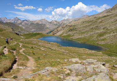
Randonnée Marche de 12,1 km à découvrir à Provence-Alpes-Côte d'Azur, Alpes-de-Haute-Provence, Val-d'Oronaye. Cette randonnée est proposée par charollois.
Belle rando, en forêt mais avec vues sur Larche, St Ours, Meyronne; jolis moments de prairies et les forts.
Quelques passages à surveiller, en dévers.
Quelques hésitations car le sentier n’est pas toujours très marqué.

Marche

Marche

Marche
Marche
Marche
Marche
Marche
Marche
Marche