


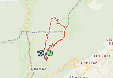

9,6 km | 18,3 km-effort

Utilisateur


Application GPS de randonnée GRATUITE
 SityTrail
IGN / Instituts géographiques
SityTrail World
Le monde est à vous
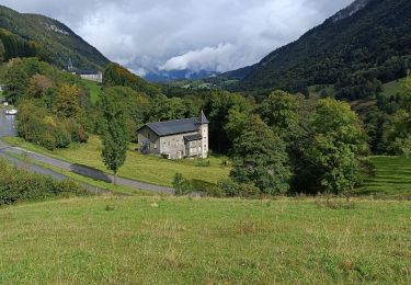
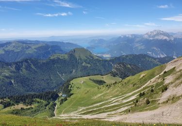
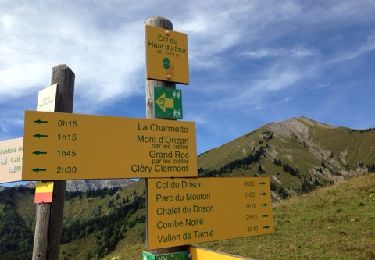
Randonnée Marche de 8 km à découvrir à Auvergne-Rhône-Alpes, Savoie, Mercury. Cette randonnée est proposée par jibebouvier.
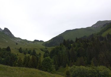
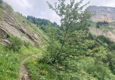
sentier un peu humide et gras, pluie la veille au matin.
le retour, sentier très humide !
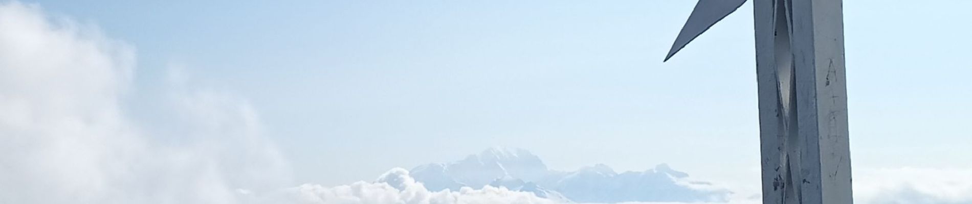
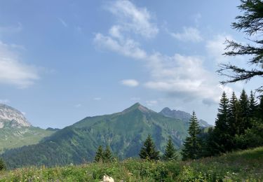
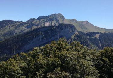
ombragé le matin, jusqu'à la sortie sur la crête, parfait lors des grosses chaleurs.
un peu de monde en semaine en vacances.

Marche
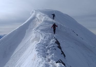
Ski de randonnée

Moteur
Marche
Marche
Marche
Marche
Marche
Marche