


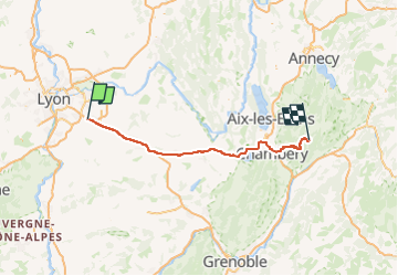

24 km | 27 km-effort


Utilisateur


Application GPS de randonnée GRATUITE
 SityTrail
IGN / Instituts géographiques
SityTrail World
Le monde est à vous
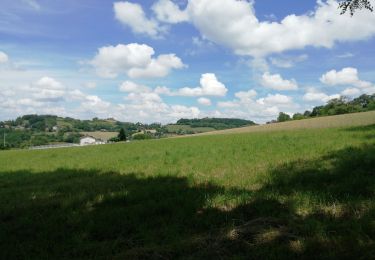
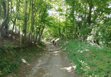
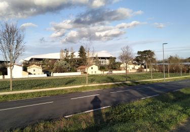
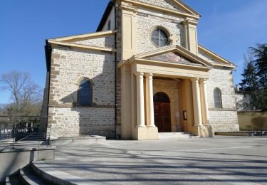
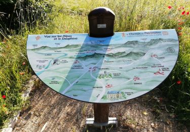
Randonnée Randonnée équestre de 121 km à découvrir à Auvergne-Rhône-Alpes, Rhône, Saint-Bonnet-de-Mure. Cette randonnée est proposée par lau74.
uuu
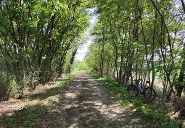
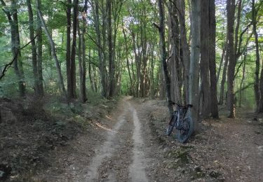
V.T.T.
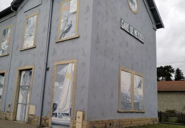
Marche
V.T.T.
Marche
Marche
V.T.T.
Marche
Marche

Marche