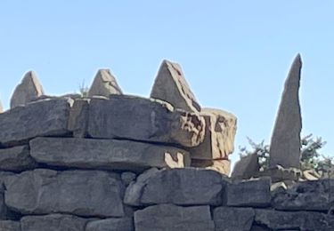
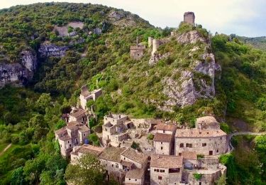
29 km | 39 km-effort
Saint-Maurice-d'Ibie 16km.
chancha
Utilisateur
Longueur
15,6 km
Altitude max
386 m
Dénivelé positif
514 m
Km-Effort
22 km
Altitude min
173 m
Dénivelé négatif
519 m
Boucle
Oui
Date de création :
2024-07-11 06:29:41.961
Dernière modification :
2024-07-11 18:18:34.668
5h06
Difficulté : Très difficile
Application GPS de randonnée GRATUITE
À propos
Randonnée Marche de 15,6 km à découvrir à Auvergne-Rhône-Alpes, Ardèche, Saint-Maurice-d'Ibie. Cette randonnée est proposée par chancha.
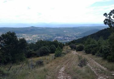
Localisation
Pays :
France
Région :
Auvergne-Rhône-Alpes
Département/Province :
Ardèche
Commune :
Saint-Maurice-d'Ibie
Localité :
Unknown
Départ:(Dec)
Départ:(UTM)
617926 ; 4928554 (31T) N.
Commentaires
Randonnées à proximité
Les hauteurs de St Andéol de Berg
V.T.T.
Difficile
(2)
Saint-Andéol-de-Berg,
Auvergne-Rhône-Alpes,
Ardèche,
France
3h 0min
Oui
07 rochecompmbe gour sompe
Marche
Moyen
Rochecolombe,
Auvergne-Rhône-Alpes,
Ardèche,
France
17 km | 23 km-effort
6h 22min
Oui
07 st Maurice d ibis a revoir
Marche
Moyen
Saint-Maurice-d'Ibie,
Auvergne-Rhône-Alpes,
Ardèche,
France
14,9 km | 21 km-effort
5h 24min
Non
rando autour de rochecolombe
Marche
Facile
(1)
Rochecolombe,
Auvergne-Rhône-Alpes,
Ardèche,
France
6,6 km | 10 km-effort
2h 46min
Oui
Rochecolombe
Marche
Moyen
(1)
Rochecolombe,
Auvergne-Rhône-Alpes,
Ardèche,
France
5,3 km | 7,8 km-effort
2h 56min
Oui
leyris
Marche
Moyen
Lagorce,
Auvergne-Rhône-Alpes,
Ardèche,
France
15,4 km | 21 km-effort
4h 31min
Oui
Rochecolombe
Marche
Moyen
Rochecolombe,
Auvergne-Rhône-Alpes,
Ardèche,
France
6,2 km | 9 km-effort
2h 39min
Oui
Autour de Rochecolombe.10km
Marche
Difficile
Rochecolombe,
Auvergne-Rhône-Alpes,
Ardèche,
France
10,1 km | 15,2 km-effort
3h 27min
Oui
Sauveplantade 6km
Marche
Facile
Rochecolombe,
Auvergne-Rhône-Alpes,
Ardèche,
France
6,2 km | 7,7 km-effort
1h 46min
Oui