


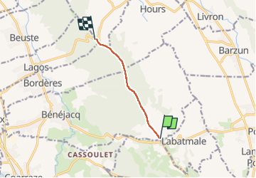

6,2 km | 6,7 km-effort

Utilisateur GUIDE


Application GPS de randonnée GRATUITE
 SityTrail
IGN / Instituts géographiques
SityTrail World
Le monde est à vous
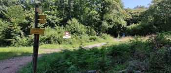
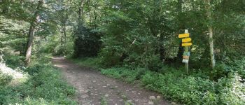
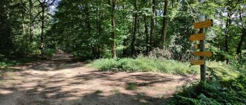
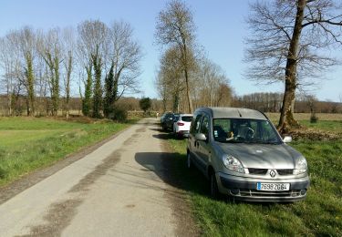
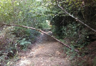
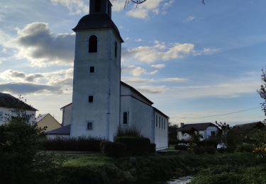
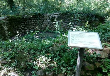
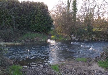
Randonnée Marche de 4,9 km à découvrir à Nouvelle-Aquitaine, Pyrénées-Atlantiques, Bénéjacq. Cette randonnée est proposée par marmotte65.
 "
data-pinterest-text="Pin it"
data-tweet-text="share on twitter"
data-facebook-share-url="https://www.sitytrail.com/fr/trails/4117813-benejacq--saintxvincent-collecte-gr-782-1-----x4117813x----xfinx/?photo=1#lg=1&slide=1"
data-twitter-share-url="https://www.sitytrail.com/fr/trails/4117813-benejacq--saintxvincent-collecte-gr-782-1-----x4117813x----xfinx/?photo=1#lg=1&slide=1"
data-googleplus-share-url="https://www.sitytrail.com/fr/trails/4117813-benejacq--saintxvincent-collecte-gr-782-1-----x4117813x----xfinx/?photo=1#lg=1&slide=1"
data-pinterest-share-url="https://www.sitytrail.com/fr/trails/4117813-benejacq--saintxvincent-collecte-gr-782-1-----x4117813x----xfinx/?photo=1#lg=1&slide=1">
"
data-pinterest-text="Pin it"
data-tweet-text="share on twitter"
data-facebook-share-url="https://www.sitytrail.com/fr/trails/4117813-benejacq--saintxvincent-collecte-gr-782-1-----x4117813x----xfinx/?photo=1#lg=1&slide=1"
data-twitter-share-url="https://www.sitytrail.com/fr/trails/4117813-benejacq--saintxvincent-collecte-gr-782-1-----x4117813x----xfinx/?photo=1#lg=1&slide=1"
data-googleplus-share-url="https://www.sitytrail.com/fr/trails/4117813-benejacq--saintxvincent-collecte-gr-782-1-----x4117813x----xfinx/?photo=1#lg=1&slide=1"
data-pinterest-share-url="https://www.sitytrail.com/fr/trails/4117813-benejacq--saintxvincent-collecte-gr-782-1-----x4117813x----xfinx/?photo=1#lg=1&slide=1">
 "
data-pinterest-text="Pin it"
data-tweet-text="share on twitter"
data-facebook-share-url="https://www.sitytrail.com/fr/trails/4117813-benejacq--saintxvincent-collecte-gr-782-1-----x4117813x----xfinx/?photo=2#lg=1&slide=2"
data-twitter-share-url="https://www.sitytrail.com/fr/trails/4117813-benejacq--saintxvincent-collecte-gr-782-1-----x4117813x----xfinx/?photo=2#lg=1&slide=2"
data-googleplus-share-url="https://www.sitytrail.com/fr/trails/4117813-benejacq--saintxvincent-collecte-gr-782-1-----x4117813x----xfinx/?photo=2#lg=1&slide=2"
data-pinterest-share-url="https://www.sitytrail.com/fr/trails/4117813-benejacq--saintxvincent-collecte-gr-782-1-----x4117813x----xfinx/?photo=2#lg=1&slide=2">
"
data-pinterest-text="Pin it"
data-tweet-text="share on twitter"
data-facebook-share-url="https://www.sitytrail.com/fr/trails/4117813-benejacq--saintxvincent-collecte-gr-782-1-----x4117813x----xfinx/?photo=2#lg=1&slide=2"
data-twitter-share-url="https://www.sitytrail.com/fr/trails/4117813-benejacq--saintxvincent-collecte-gr-782-1-----x4117813x----xfinx/?photo=2#lg=1&slide=2"
data-googleplus-share-url="https://www.sitytrail.com/fr/trails/4117813-benejacq--saintxvincent-collecte-gr-782-1-----x4117813x----xfinx/?photo=2#lg=1&slide=2"
data-pinterest-share-url="https://www.sitytrail.com/fr/trails/4117813-benejacq--saintxvincent-collecte-gr-782-1-----x4117813x----xfinx/?photo=2#lg=1&slide=2">

Marche
Marche
Marche

Marche

V.T.T.
Marche
Marche
V.T.T.
Marche