


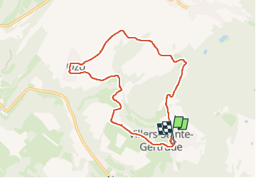


8,1 km | 10,8 km-effort

Utilisateur GUIDE


Application GPS de randonnée GRATUITE
 SityTrail
IGN / Instituts géographiques
SityTrail World
Le monde est à vous
Randonnée Marche de 8,1 km à découvrir à Wallonie, Luxembourg, Durbuy. Cette randonnée est proposée par Desrumaux.
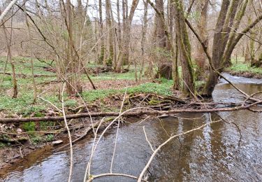
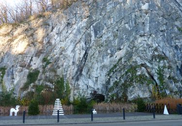
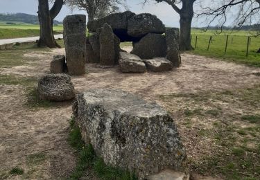
Jolie balade entre Condroz et Ardenne au départ du village de Villers-Sainte-Gertrude vers le village d'Ozo dans l'entité de Durbuy.
Départ église de Villers-Sainte-Gertrude.
Balisage rectangle rouge blanc rouge.
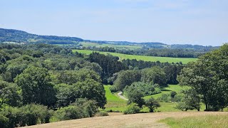


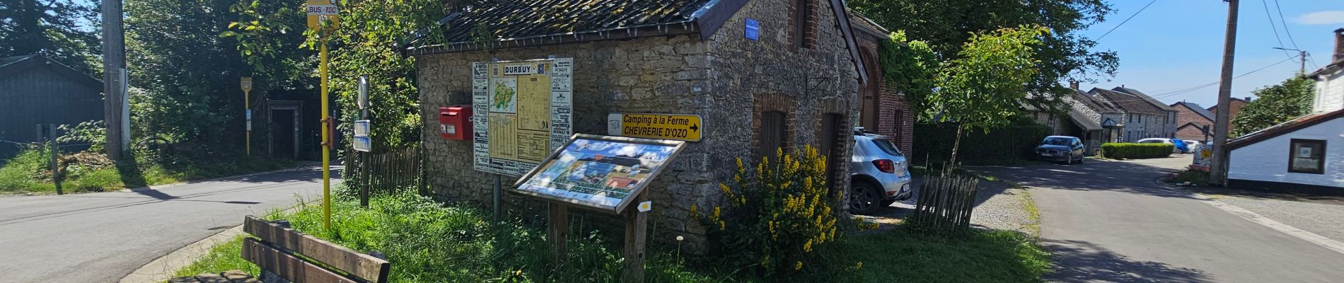
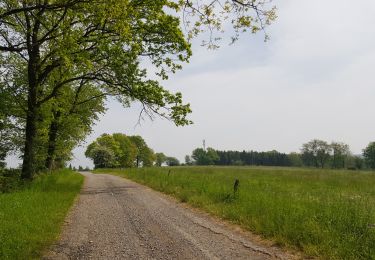
21 photos au total. Cliquez sur une photo pour les afficher toutes dans la galerie.

Marche

Marche

Marche

Marche
Marche

Marche
Marche
Marche
Marche