


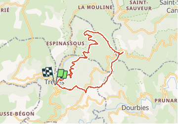

21 km | 29 km-effort


Utilisateur


Application GPS de randonnée GRATUITE
 SityTrail
IGN / Instituts géographiques
SityTrail World
Le monde est à vous
Randonnée Marche de 20 km à découvrir à Occitanie, Gard, Trèves. Cette randonnée est proposée par grageot.
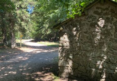
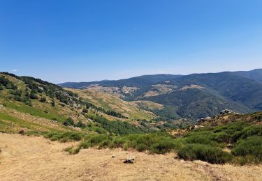
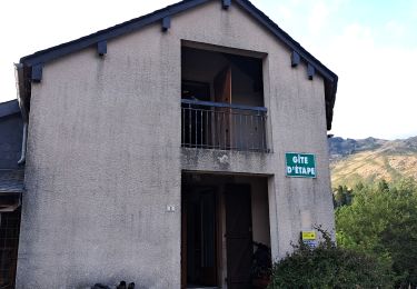
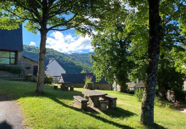
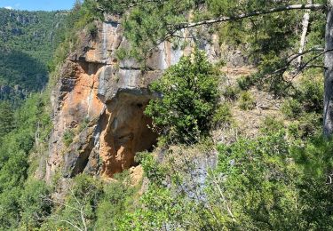
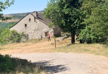
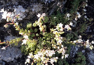
Très belle randonnée au dessus des gorges Trevezel et sur l'arête du Suquet. Un sentier pour aller jusqu'à la grotte St Firmin et ensuite une trace le long de la falaise pour rejoindre le sentier balisé. Un petit détour mérité pour voir le "hêtre remarquable"
Marche
Marche
Marche

Marche
Marche