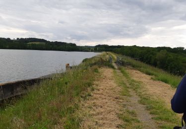
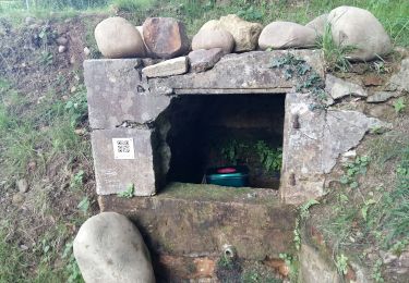
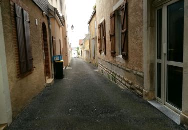
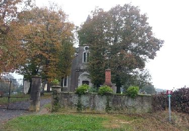
7 km | 8,8 km-effort
Trace M2 Lembeye Guy
mitch1952
Utilisateur
Longueur
8,7 km
Altitude max
320 m
Dénivelé positif
150 m
Km-Effort
10,7 km
Altitude min
186 m
Dénivelé négatif
149 m
Boucle
Oui
Date de création :
2024-07-03 06:22:10.0
Dernière modification :
2024-07-03 08:51:42.943
Application GPS de randonnée GRATUITE
À propos
Randonnée de 8,7 km à découvrir à Nouvelle-Aquitaine, Pyrénées-Atlantiques, Lembeye. Cette randonnée est proposée par mitch1952.
Localisation
Pays :
France
Région :
Nouvelle-Aquitaine
Département/Province :
Pyrénées-Atlantiques
Commune :
Lembeye
Localité :
Unknown
Départ:(Dec)
Départ:(UTM)
733692 ; 4814747 (30T) N.
Commentaires
Randonnées à proximité
LEMBEYE Labelisation le chemin de la ligne "4009338"
Marche
Moyen
Lembeye,
Nouvelle-Aquitaine,
Pyrénées-Atlantiques,
France
1h 59min
Oui
BASSILLON VAUZE G4 "la passejada du loup" "3665612"
Marche
Difficile
Bassillon-Vauzé,
Nouvelle-Aquitaine,
Pyrénées-Atlantiques,
France
10,6 km | 12,8 km-effort
3h 18min
Oui
LEMBEYE Terra aventura
Marche
Facile
Lembeye,
Nouvelle-Aquitaine,
Pyrénées-Atlantiques,
France
3,1 km | 3,6 km-effort
47min
Oui
LEMBEYE La ligne M2
Marche
Facile
Lembeye,
Nouvelle-Aquitaine,
Pyrénées-Atlantiques,
France
6,8 km | 8,6 km-effort
1h 40min
Oui
LUCARE / ABERRE GR653A premier tronçon du secteur A 2801487
Marche
Difficile
Bentayou-Sérée,
Nouvelle-Aquitaine,
Pyrénées-Atlantiques,
France
11,7 km | 15,2 km-effort
3h 8min
Non
MONCAUP-Circuit vert des fontaines
Marche
Très facile
Moncaup,
Nouvelle-Aquitaine,
Pyrénées-Atlantiques,
France
9,9 km | 13 km-effort
2h 47min
Oui
Entre moulin et orchidées
Marche
Moyen
Lespielle,
Nouvelle-Aquitaine,
Pyrénées-Atlantiques,
France
10 km | 12,4 km-effort
2h 29min
Oui
MONCAUP 2020-08-15_19h39m22_Cirkwi-Le_sentier_des_fontaines (1)
A pied
Facile
Moncaup,
Nouvelle-Aquitaine,
Pyrénées-Atlantiques,
France
13,4 km | 17,6 km-effort
Inconnu
Oui
MONCAUP chemin des fontaines M1-fait
Marche
Facile
Moncaup,
Nouvelle-Aquitaine,
Pyrénées-Atlantiques,
France
9,7 km | 12,3 km-effort
2h 41min
Oui