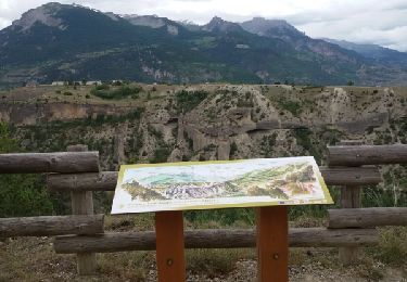
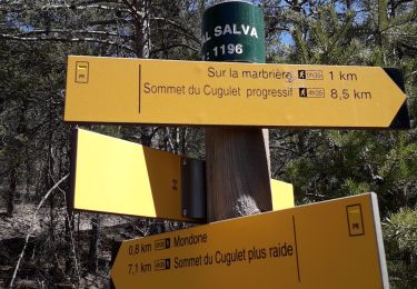
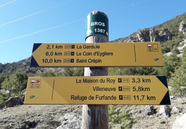
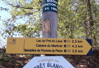
Randonnée Trail Guillestre - Grand Raid du Guillestrois-Queyras 2024 - Ultra Tour - Photo

Grand Raid du Guillestrois-Queyras 2024 - Ultra Tour

 verpoorten
verpoorten

Utilisateur

© OpenStreetMap contributors
Longueur
Longueur
163 km
Altitude max
Altitude max
2815 m
Dénivelé positif
Dénivelé positif
11922 m
Km-Effort
Km-Effort  
322 km
Altitude min
Altitude min
918 m
Dénivelé négatif
Dénivelé négatif
11922 m
Boucle
Boucle
Oui
Date de création :
2024-07-01 13:55:09.828
Dernière modification :
2024-07-01 14:48:26.234

(0 Avis)

Trail
Trail
50h00
Difficulté : Très difficile

Scannez ce code QR pour ouvrir la randonnée dans l'application SityTrail

Application GPS de randonnée GRATUITE

Logo SityTrail SityTrail

IGN / Instituts géographiques

Télécharger SityTrail sur l'App Store Télécharger SityTrail sur Google Play

Logo SityTrail SityTrail World

Le monde est à vous

Télécharger SityTrail sur l'App Store Télécharger SityTrail sur Google Play Télécharger SityTrail sur Huawei AppGallery

À propos

Randonnée Trail de 163 km à découvrir à Provence-Alpes-Côte d'Azur, Hautes-Alpes, Guillestre. Cette randonnée est proposée par verpoorten.

Description

Parcours créé sur Trace de Trail

Profil altimétrique

Points d'intérêt

Point d'intérêt Le Petit Jardin - water 1 - Photo
verpoorten
LE PETIT JARDIN 
Point d'intérêt Château-Ville-Vieille - Rav 2 - Photo
verpoorten
CHÂTEAU-VILLE-VIEILLE 
Point d'intérêt Le Petit Jardin - Rav 1 - Photo
verpoorten
LE PETIT JARDIN 
Point d'intérêt Le Petit Jardin - Water 1 - Photo
verpoorten
LE PETIT JARDIN 
Point d'intérêt Cervières - Rav 3 - Photo
verpoorten
CERVIÈRES 
Point d'intérêt Abriès-Ristolas - Rav 4 - Photo
verpoorten
ABRIÈS-RISTOLAS 
Point d'intérêt Abriès-Ristolas - sleep 1 - Photo
verpoorten
ABRIÈS-RISTOLAS 
Point d'intérêt Molines-en-Queyras - Rav 5 - Photo
verpoorten
MOLINES-EN-QUEYRAS 
Point d'intérêt Saint-Véran - Rav 6 - Photo
verpoorten
SAINT-VÉRAN 
Point d'intérêt Ceillac - Sleep 2 - Photo
verpoorten
CEILLAC 
Point d'intérêt Saint-Paul-sur-Ubaye - Rav 7 - Photo
verpoorten
SAINT-PAUL-SUR-UBAYE 
Point d'intérêt Vars - Rav 9 - Photo
verpoorten
VARS 

Localisation

Pays :
France
Région :
Provence-Alpes-Côte d'Azur
Département/Province :
Hautes-Alpes
Commune :
Guillestre
Localité :
Unknown
Départ:(Dec)
Départ:(UTM)
314284 ; 4948226 (32T) N.

Randonnées à proximité

Randonnée Marche Guillestre - Rue des Masques - Photo
Marche
Dervalmarc

Marche

Très facile
(1)
Guillestre, Provence-Alpes-Côte d'Azur, Hautes-Alpes, France
5,1 km | 7,9 km-effort
1h 47min
Oui
Randonnée Marche Eygliers - crots les Girars - Photo
Marche
Sorriaux

Marche

Moyen
(1)
Eygliers, Provence-Alpes-Côte d'Azur, Hautes-Alpes, France
10,2 km | 16,9 km-effort
3h 41min
Oui
Randonnée Marche Vars - 05 Tour Font Sancte - étape 2 - Photo
Marche
Maryma

Marche

Très difficile
(1)
Vars, Provence-Alpes-Côte d'Azur, Hautes-Alpes, France
19 km | 38 km-effort
8h 41min
Non
Randonnée Marche Guillestre - guillestre, rif bel,col de la scie, crete de vars,la coulette et retour par riou bel - Photo
Marche
tchoua

Marche

Très difficile
Guillestre, Provence-Alpes-Côte d'Azur, Hautes-Alpes, France
24 km | 45 km-effort
6h 24min
Oui
Randonnée Marche Risoul - plan de phazy par la forêt de risoul en boucle - Photo
Marche
tchoua

Marche

Difficile
Risoul, Provence-Alpes-Côte d'Azur, Hautes-Alpes, France
17,5 km | 34 km-effort
4h 38min
Oui
Randonnée Marche Saint-Crépin - St Crépin Thurifère vers hameau de Guion Chantal - Photo
Marche
damlou

Marche

Difficile
Saint-Crépin, Provence-Alpes-Côte d'Azur, Hautes-Alpes, France
5 km | 9,9 km-effort
2h 30min
Oui
Randonnée Marche Guillestre - col garnies aller retour  - Photo
Marche
tchoua

Marche

Moyen
Guillestre, Provence-Alpes-Côte d'Azur, Hautes-Alpes, France
19,5 km | 39 km-effort
4h 47min
Oui
Randonnée Marche Guillestre - cugulet aller retour  - Photo
Marche
tchoua

Marche

Moyen
Guillestre, Provence-Alpes-Côte d'Azur, Hautes-Alpes, France
14,6 km | 33 km-effort
4h 2min
Oui
Randonnée Marche Guillestre - Roche Rousse et Rocher de l'aigle  à  Guillestre  - Photo
Marche
Sorriaux

Marche

Moyen
Guillestre, Provence-Alpes-Côte d'Azur, Hautes-Alpes, France
8,6 km | 14 km-effort
2h 52min
Oui


Fermer
Mes abonnements